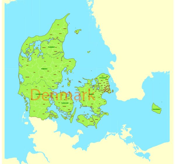
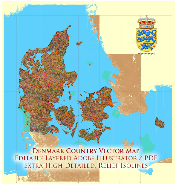
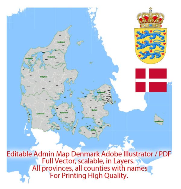
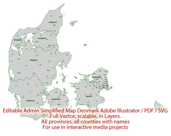
Denmark is a country located in Northern Europe, and its geographical features include a network of waterways and well-developed road infrastructure. Here’s an overview of Denmark’s principal waterways and main roads:
Waterways:
- The Baltic Sea:
- Denmark is surrounded by the Baltic Sea to the east. It serves as a vital waterway for maritime trade and transportation.
- The North Sea:
- To the west of Denmark lies the North Sea, another significant maritime route for the country.
- The Kattegat and Skagerrak:
- These straits connect the Baltic Sea with the North Sea, and they are important for both maritime traffic and fishing.
- Fjords and Inlets:
- Denmark has numerous fjords, inlets, and small channels that provide additional navigable waterways, particularly along the western coast of the Jutland Peninsula.
Main Roads:
- E-roads:
- Denmark has an extensive network of European routes, known as E-roads. These roads connect Denmark with neighboring countries and form part of the international road network.
- Motorways (Autobahns):
- Denmark has a well-developed system of motorways, or “motorveje.” These high-speed roads connect major cities and regions, providing efficient transportation across the country.
- Primary Roads:
- Apart from motorways, Denmark has a comprehensive network of primary roads that connect towns and cities. These roads are crucial for both local and regional transportation.
- Secondary Roads:
- Secondary roads cover a wide area of the country, connecting smaller towns and rural areas. These roads are essential for local traffic and accessibility.
- Bridges and Tunnels:
- Denmark is known for its impressive infrastructure, including several bridges and tunnels. The Øresund Bridge, connecting Denmark with Sweden, is a notable example.
- Cycling Paths:
- Denmark is also famous for its extensive network of cycling paths. Many roads have dedicated lanes for cyclists, promoting eco-friendly transportation.
- Ferries:
- Given Denmark’s coastal geography and the presence of islands, ferries play a crucial role in connecting different parts of the country. They are particularly important for reaching the more remote islands.
The combination of well-maintained roads and a strategic location with access to major waterways makes Denmark well-connected and facilitates efficient transportation and trade.


 Author: Kirill Shrayber, Ph.D. FRGS