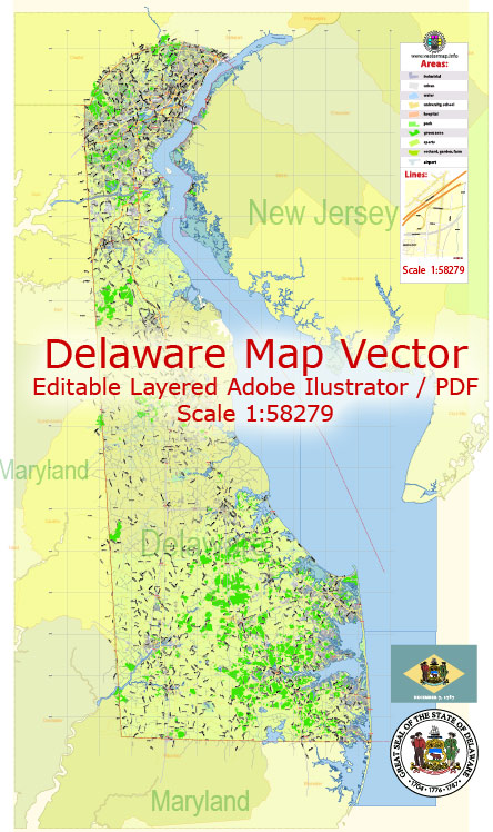
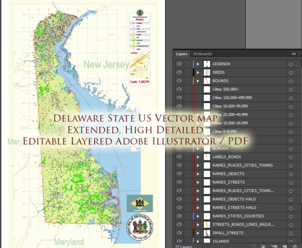
Delaware, the second smallest state in the United States, has a network of waterways and main roads that play a crucial role in its transportation and commerce. Here’s an overview of some of the principal waterways and main roads in Delaware:
Waterways:
- Delaware River:
- The Delaware River forms the eastern border of the state, separating Delaware from New Jersey. It is a major navigable waterway and an essential transportation route for cargo ships.
- Chesapeake and Delaware Canal:
- Connecting the Chesapeake Bay and the Delaware River, this artificial waterway provides a shortcut for maritime traffic, bypassing the treacherous waters around the southern tip of Delaware.
- Delaware Bay:
- The Delaware Bay, situated to the east of the state, is a large estuary where the Delaware River meets the Atlantic Ocean. It serves as an important natural harbor and supports various maritime activities.
- Inland Bays:
- Delaware is also known for its inland bays, including Rehoboth Bay, Indian River Bay, and Little Assawoman Bay. These bays contribute to the state’s tourism and provide habitats for diverse ecosystems.
Main Roads:
- Interstate 95 (I-95):
- Running along the eastern edge of the state, I-95 is a major north-south interstate highway that connects Delaware with major cities along the East Coast.
- Delaware Route 1 (DE-1):
- This toll highway runs north-south through the state, providing a direct route from the Delaware beaches to the northern part of the state and beyond.
- U.S. Route 13 (US-13):
- US-13 is a north-south highway that traverses Delaware, passing through major cities like Wilmington and Dover. It serves as a key route for both local and interstate travel.
- Delaware Route 404 (DE-404):
- DE-404 is an east-west highway connecting the Chesapeake Bay Bridge in Maryland to the Delaware beaches, passing through the central part of the state.
- Delaware Route 9 (DE-9):
- Running along the Delaware River, DE-9 is a scenic north-south route that provides access to various towns and historic sites.
- Delaware Route 2 (DE-2):
- DE-2, also known as the Capitol Trail, connects the city of Wilmington to Dover, serving as a vital east-west corridor.
- Delaware Route 1A (DE-1A):
- This route runs parallel to DE-1 along the Delaware coast, providing access to beach towns and resorts.
These waterways and roads contribute to Delaware’s economic vitality, supporting industries such as shipping, tourism, and commerce. The state’s strategic location on the East Coast makes its transportation infrastructure crucial for regional and national connectivity.


 Author: Kirill Shrayber, Ph.D. FRGS