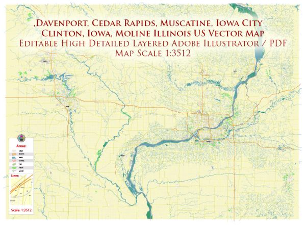
The Davenport area in Iowa, part of the Quad Cities region along the Mississippi River, is home to several notable buildings and landmarks. Here are some of the most famous ones:
- Davenport Skybridge:
- A modern pedestrian bridge that spans River Drive and connects the RiverCenter and Radisson Quad City Plaza hotels. It is an iconic symbol of downtown Davenport.
- Figge Art Museum:
- This contemporary art museum features a stunning design and a diverse collection of visual arts. The building itself is a work of art and includes galleries, classrooms, and event spaces.
- Adler Theatre:
- A historic performing arts venue in downtown Davenport, the Adler Theatre has hosted a variety of events, including concerts, Broadway shows, and performances by renowned artists.
- Village of East Davenport:
- This charming historic district is known for its unique shops, restaurants, and Victorian architecture. It offers a picturesque view of the Mississippi River and is a popular destination for locals and visitors alike.
- Putnam Museum and Science Center:
- A cultural and educational institution, the Putnam Museum features exhibits on natural history, science, and regional history. The building is distinctive, and the museum offers a variety of interactive displays and programs.
- Palmer College of Chiropractic:
- Founded in 1897, Palmer College is the first and largest chiropractic college in the world. The campus includes several historic and modern buildings dedicated to chiropractic education.
- Government Bridge:
- Connecting Davenport with the Rock Island Arsenal across the Mississippi River, the Government Bridge is a truss bridge that is not only functional but also provides scenic views of the river.
- Rock Island Arsenal:
- While technically on the Illinois side of the river, the Rock Island Arsenal is an important landmark visible from Davenport. It is an active U.S. Army facility with a history dating back to the 19th century.
These landmarks contribute to the cultural, historical, and architectural richness of the Davenport area, making it a vibrant and interesting place to explore.


 Author: Kirill Shrayber, Ph.D. FRGS