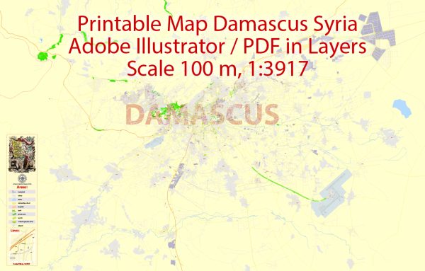
Damascus, the capital of Syria, is situated in the southwestern part of the country. The city is known for its rich history and cultural significance. Please note that the situation in Syria may have changed, and it’s advisable to consult more recent sources for the latest information.
Principal Waterways:
- Barada River (Nahr Barada): The Barada River flows through Damascus and has historically been a crucial water source for the city. It has played a vital role in the irrigation of agricultural lands and the supply of water to the city.
- Awaj River: Another important waterway, the Awaj River, flows near Damascus and contributes to the region’s water resources.
Main Roads:
- Sharia Baghdad (Baghdad Street): This is one of the main streets in Damascus, running through the city and connecting various neighborhoods.
- Mezzeh Autostrade: This is a major highway in Damascus, facilitating transportation within the city and connecting it to other parts of the country.
- Damascus-Beirut Highway: This international highway connects Damascus to the Lebanese capital, Beirut. It serves as a vital route for trade and travel between the two cities.
- Umayyad Street: Umayyad Street is a central thoroughfare in Damascus, passing through the heart of the city and featuring shops, restaurants, and important landmarks.
- Damascus-Daraa Highway: Connecting Damascus to the southern city of Daraa, this highway is crucial for transportation between the capital and the southern regions of Syria.
- Damascus-Homs Highway: This highway links Damascus to the city of Homs, serving as a key transportation route in central Syria.
It’s important to note that due to the complex and dynamic situation in Syria, infrastructure conditions, road accessibility, and the overall state of the city may have changed. I recommend checking with local sources or recent maps for the most up-to-date information on Damascus and its principal waterways and main roads.


 Author: Kirill Shrayber, Ph.D. FRGS