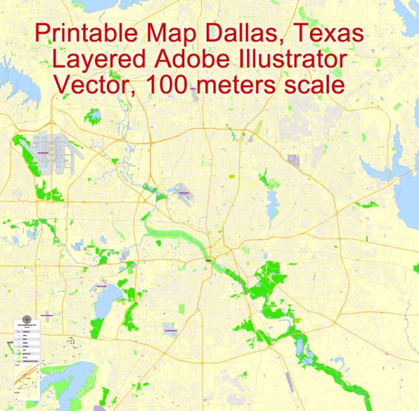
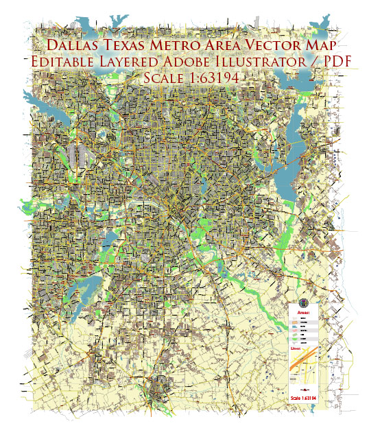
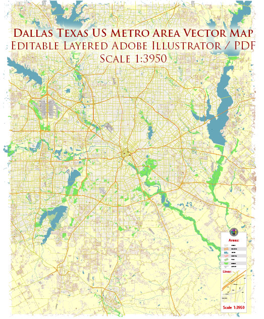
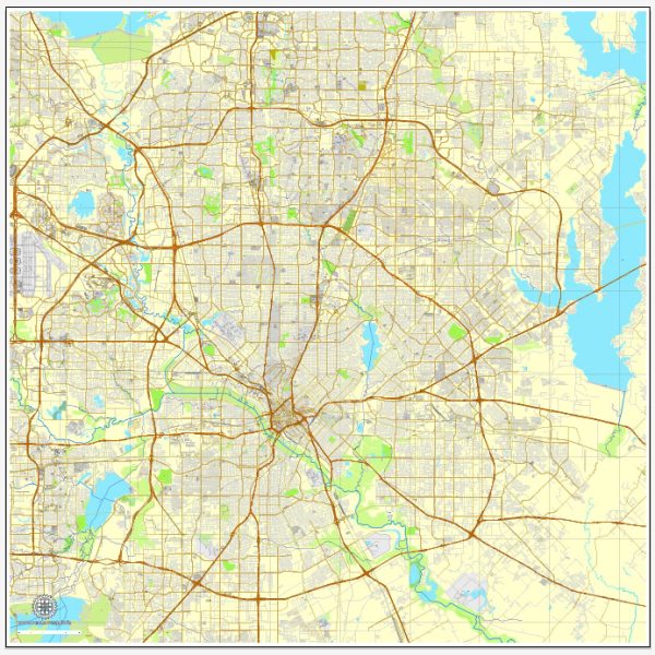
Dallas, Texas, is a large and sprawling city with an extensive network of principal streets and roads. While it’s not possible to provide an exhaustive list of all streets, I can mention some of the major ones that are well-known and play a significant role in the city’s transportation infrastructure. Please note that Dallas is constantly evolving, and new developments may impact the road network. Here are some key streets and roads in Dallas:
- Interstates:
- I-35E and I-35W: These are the two branches of Interstate 35 that pass through Dallas, connecting the city with other major cities in Texas and beyond.
- I-30: Runs east-west through Dallas, connecting the city to Fort Worth and points east.
- Loop Roads:
- I-635 (LBJ Freeway): A loop that encircles much of Dallas, providing access to various neighborhoods and suburbs.
- I-820 (Fort Worth Loop): Though not entirely within Dallas, it plays a role in connecting different parts of the DFW metroplex.
- U.S. Highways:
- US 75 (North Central Expressway): A major north-south route connecting Dallas to cities like McKinney and Plano.
- US 67 (Marvin D. Love Freeway): Runs southwest from Dallas to cities like Cedar Hill and Midlothian.
- State Highways:
- SH 114 and SH 183: These highways connect Dallas to the nearby Dallas/Fort Worth International Airport.
- SH 12 (Northwest Highway): Runs east-west, providing access to areas like Love Field Airport and White Rock Lake.
- Major Streets:
- Main Street: Runs through downtown Dallas and is known for its historic and cultural significance.
- Commerce Street: Another prominent street in downtown Dallas, hosting various businesses and attractions.
- Harry Hines Boulevard: Known for its commercial establishments, including wholesale and retail businesses.
- Belt Line Road: A major east-west thoroughfare that spans various neighborhoods and suburbs in the Dallas area.
- Woodall Rodgers Freeway: Connects the Arts District and Uptown areas of Dallas and includes Klyde Warren Park.
- Dallas North Tollway: A toll road extending from downtown Dallas northward, passing through affluent suburbs like Plano and Frisco.
Remember, Dallas is a vast city with many neighborhoods and districts, each served by a network of streets and roads. This list covers some of the major ones, but there are numerous other local streets that make up the comprehensive road system in Dallas. Additionally, ongoing construction and development projects may lead to changes in the road infrastructure over time.

 Author: Kirill Shrayber, Ph.D.