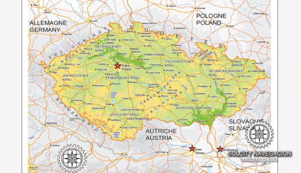
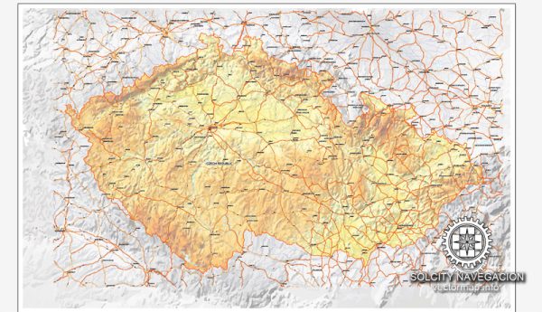
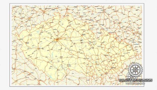
A general overview of the principal waterways and main roads in the Czech Republic. Please note that there might have been changes or developments, and it’s always a good idea to check for the latest information.
Principal Waterways:
- Vltava River: The Vltava is the longest river in the Czech Republic, flowing through Prague and joining the Elbe River near Melnik. It is a significant waterway for both transportation and tourism.
- Labe (Elbe) River: The Elbe River runs through the northern part of the Czech Republic, forming part of the border with Germany. It’s an essential transport route for goods and connects to major European rivers.
- Morava River: The Morava is another important river, forming part of the border between the Czech Republic and Slovakia. It eventually flows into the Danube.
- Oder River: While the Oder River primarily flows through Poland, it also forms a part of the Czech Republic’s border with Poland.
Main Roads:
- D1 Motorway: Connecting Prague with Brno and Ostrava, the D1 is the most important and busiest motorway in the Czech Republic.
- D5 Motorway: Running west from Prague, the D5 connects the Czech Republic with Germany, passing through Pilsen (Plzeň).
- D8 Motorway: Linking Prague with the German border, the D8 is a key route for international transport.
- D2 Motorway: Connecting Prague with Brno and continuing to the Slovak border, the D2 is an important east-west corridor.
- R1 Expressway: Running north from Prague to Liberec, the R1 provides a crucial connection in the northern part of the country.
- E50 European Route: Passing through the Czech Republic, the E50 is a trans-European road that connects Germany, the Czech Republic, Slovakia, Hungary, and further east.
- E55 European Route: This route traverses the country, connecting Prague with the southern border and continuing southward through Austria and beyond.
These are just a few examples, and the Czech Republic has an extensive network of roads and highways that facilitate domestic and international transportation. For the latest and most detailed information, it’s recommended to refer to up-to-date maps or official transportation authorities in the Czech Republic.

 Author: Kirill Shrayber, Ph.D. FRGS