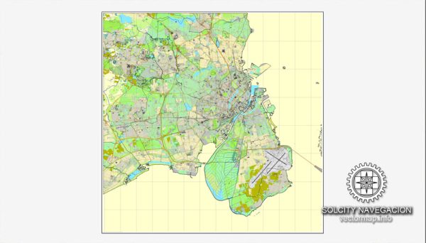
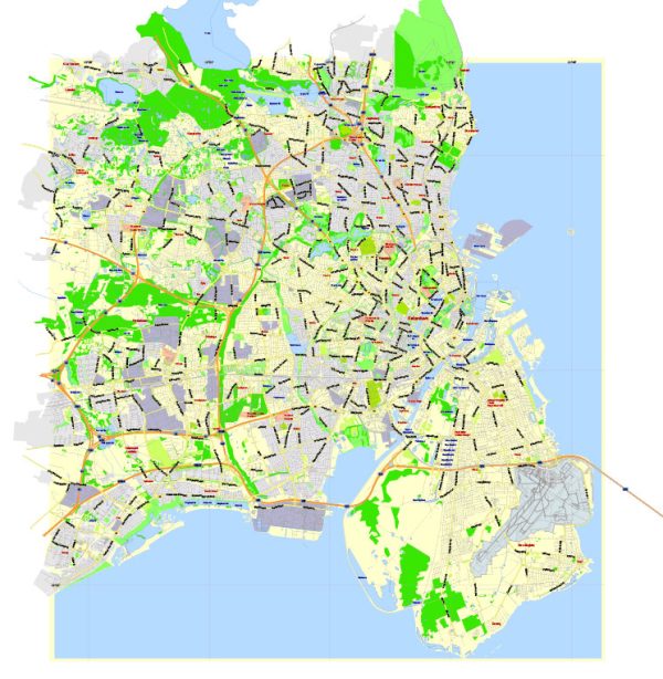
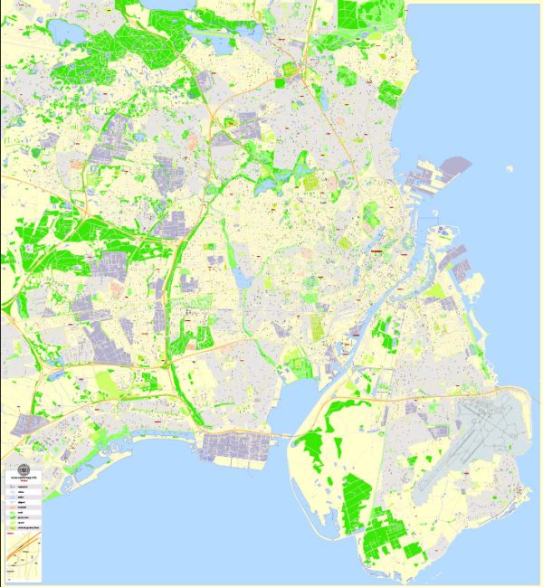
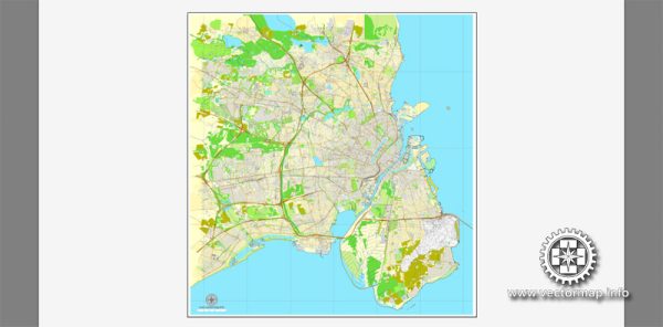
Copenhagen, the capital of Denmark, is a city with a well-planned and efficient road network. Here are some principal streets and roads in Copenhagen:
- Strøget: One of the most famous shopping streets in Copenhagen, Strøget is a pedestrian-only street that runs through the heart of the city. It’s known for its diverse range of shops, cafes, and street performers.
- Nørrebrogade: This is a major street in the Nørrebro district, known for its vibrant and multicultural atmosphere. It’s lined with shops, restaurants, and bars, and it’s a popular area for both locals and tourists.
- Vesterbrogade: Situated in the Vesterbro district, Vesterbrogade is a significant thoroughfare with a mix of shops, theaters, and restaurants. It connects the city center with the western neighborhoods.
- Østerbrogade: Running through the Østerbro district, this street is characterized by a more residential atmosphere. It’s a charming area with shops, cafes, and green spaces.
- Frederiksberg Alle: Located in the Frederiksberg district, this avenue is known for its beautiful tree-lined streets, upscale shops, and residential buildings. It’s a pleasant area for a leisurely stroll.
- H.C. Andersens Boulevard: Named after the famous Danish author Hans Christian Andersen, this boulevard is a major thoroughfare that passes through the city center. It is home to iconic landmarks such as Tivoli Gardens and the City Hall Square.
- Amagerbrogade: Running through the Amager district, Amagerbrogade is a lively street with a mix of shops, cafes, and cultural attractions. It reflects the diverse character of the neighborhood.
- Gothersgade: Situated in the Indre By (inner city) district, Gothersgade is a historic street with a combination of shops, restaurants, and historic buildings. It’s close to many tourist attractions and is part of the city’s old town.
- Islands Brygge: This area along the waterfront on the island of Amager has a beautiful promenade and is known for its recreational spaces, including parks and biking paths.
- Rådhuspladsen (City Hall Square): While technically a square, Rådhuspladsen is a central point in Copenhagen and is surrounded by major streets and roads. It’s dominated by the Copenhagen City Hall and is a hub of activity.
Remember that Copenhagen is a city with a strong emphasis on cycling, so many streets have dedicated bike lanes, and biking is a popular mode of transportation. The city’s public transportation system, including buses and the metro, also provides efficient ways to navigate the urban landscape.

 Author: Kirill Shrayber, Ph.D. FRGS