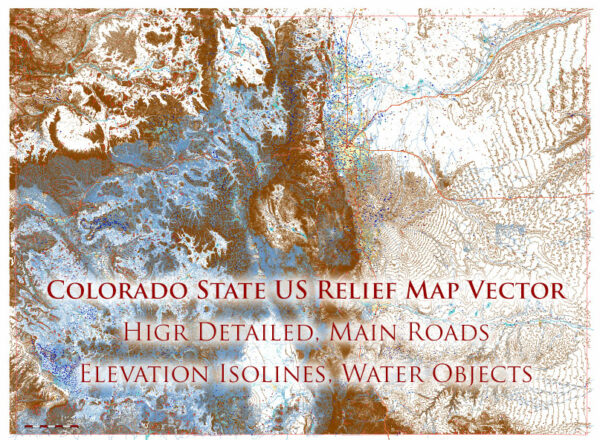
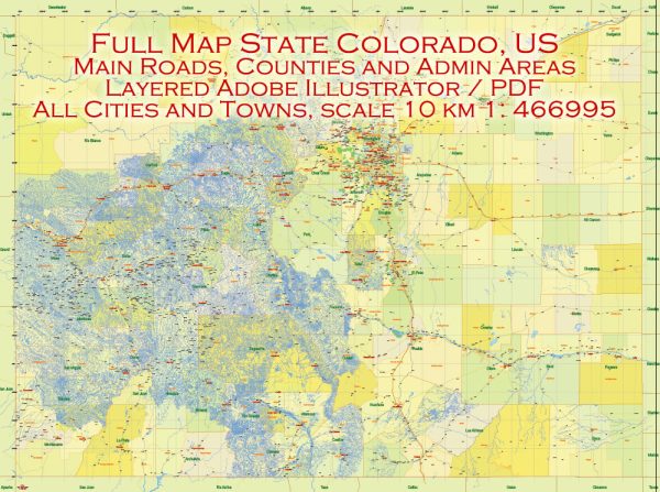
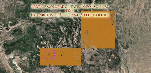
Colorado, located in the western part of the United States, is characterized by a diverse geography that includes mountains, plateaus, and plains. Several important waterways and highways contribute to the state’s transportation and economic infrastructure.
Principal Waterways:
- Colorado River: The Colorado River is a major waterway in the southwestern United States, and it flows through the western part of Colorado. It is a crucial source of water for the state and plays a significant role in supporting agriculture, industry, and urban areas.
- Platte River: The South Platte River and the North Platte River converge in eastern Colorado to form the Platte River, which then flows eastward. The Platte River is important for irrigation and provides water for agriculture in the eastern plains of Colorado.
- Arkansas River: Originating in the Rocky Mountains, the Arkansas River flows eastward across southern Colorado. It is an important river for both agriculture and recreation, with sections of the river popular for rafting and fishing.
- Rio Grande: The Rio Grande forms part of Colorado’s southern border with New Mexico. It is a vital water source for the San Luis Valley and supports agriculture in the region.
Main Roads:
- Interstate 25 (I-25): Running north-south, I-25 is a major interstate highway that traverses the state, connecting major cities such as Denver, Colorado Springs, and Pueblo. It continues into Wyoming to the north and New Mexico to the south.
- Interstate 70 (I-70): This east-west interstate is a vital transportation corridor, passing through the heart of the Rocky Mountains. It connects Denver to cities such as Grand Junction and Glenwood Springs in western Colorado.
- U.S. Route 285: Running from the New Mexico border in the south to the Wyoming border in the north, U.S. 285 is a key north-south route that passes through the central part of the state.
- U.S. Route 50: Known as the “Loneliest Road in America,” U.S. 50 crosses the state from east to west, passing through scenic landscapes and small towns.
- U.S. Route 160: This east-west highway connects the Four Corners region with the eastern plains of Colorado, passing through towns such as Durango, Alamosa, and La Junta.
These waterways and highways contribute significantly to Colorado’s transportation network, facilitating the movement of people, goods, and resources across the state and beyond.


 Author: Kirill Shrayber, Ph.D.