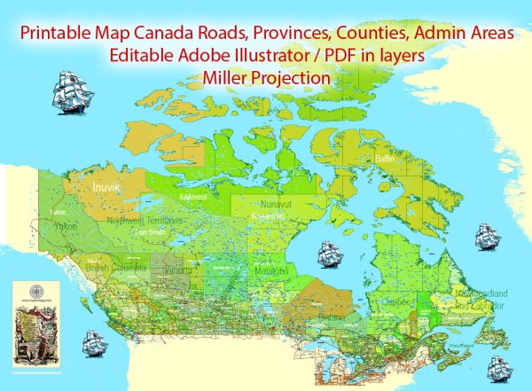
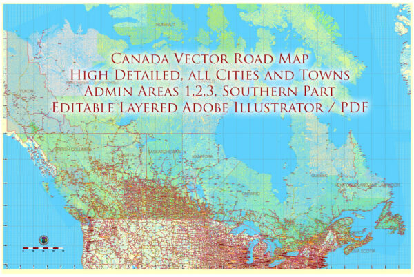
Canada is known for its extensive network of waterways and well-developed road infrastructure. Here’s an overview of some of the principal waterways and main roads in Canada:
Waterways:
- St. Lawrence River: One of the most important waterways in Canada, the St. Lawrence River connects the Great Lakes to the Atlantic Ocean. It serves as a vital transportation route for both cargo and passengers.
- Great Lakes: While technically lakes, the Great Lakes function as a major inland waterway system. Lake Superior, Lake Michigan, Lake Huron, Lake Erie, and Lake Ontario collectively form a crucial transportation route, supporting trade and commerce.
- Mackenzie River: The longest river in Canada, the Mackenzie River flows through the Northwest Territories and is an essential waterway for the transportation of goods in the northern regions.
- Fraser River: Flowing through British Columbia, the Fraser River is a significant waterway for both transportation and as a source of water for agriculture.
- Hudson Bay and Hudson Strait: These northern water routes are crucial for shipping and transportation to and from the Arctic regions.
Main Roads:
- Trans-Canada Highway: Stretching across the entire country, the Trans-Canada Highway is one of the longest national highways in the world. It connects the Pacific and Atlantic coasts, passing through major cities like Vancouver, Calgary, Winnipeg, Toronto, and Montreal.
- Highway 401: Running through the province of Ontario, Highway 401 is one of the busiest and most important highways in North America. It connects Windsor to the Quebec border, passing through Toronto.
- Yellowhead Highway (Highway 16): This transcontinental highway runs across the western provinces, connecting the Pacific coast in British Columbia to the Atlantic coast in Manitoba.
- Quebec Autoroute System: Quebec has an extensive network of autoroutes (expressways) connecting major cities such as Montreal and Quebec City.
- The Alaska Highway (Highway 97): While part of it is located in the United States, the Alaska Highway starts in Dawson Creek, British Columbia, and extends through the Yukon Territory to Alaska. It is a crucial route for transportation to the northern regions.
These waterways and road networks play a vital role in supporting Canada’s economy by facilitating the movement of goods and people across the vast and diverse landscape of the country.


 Author: Kirill Shrayber, Ph.D. FRGS