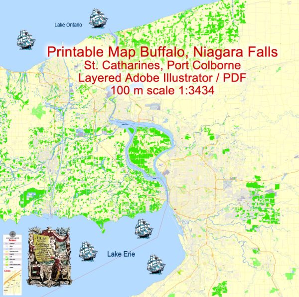
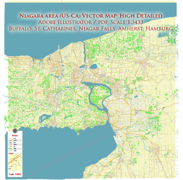
Buffalo, New York, and Niagara Falls, New York, are two distinct cities located relatively close to each other in Western New York. Below, I’ll provide a brief overview of some principal streets and roads in each city.
Buffalo, New York:
- Main Street: A major thoroughfare in downtown Buffalo, featuring shops, restaurants, and cultural institutions.
- Delaware Avenue: Known for historic architecture, Delaware Avenue is a prominent street with mansions, government buildings, and parks.
- Elmwood Avenue: A popular area with a vibrant atmosphere, Elmwood Avenue is lined with boutiques, cafes, and restaurants.
- Niagara Street: Runs through various neighborhoods and provides access to the Peace Bridge, connecting Buffalo to Fort Erie, Ontario, Canada.
- Kensington Expressway (NY-33): A major east-west highway connecting downtown Buffalo to the eastern suburbs.
- Skyway (NY-5): Elevated expressway offering stunning views of Lake Erie and connecting downtown Buffalo to the Southtowns.
Niagara Falls, New York:
- Rainbow Boulevard: Located near Niagara Falls State Park, this street offers views of the falls and access to various attractions.
- Niagara Street: The main street running through Niagara Falls, featuring businesses, hotels, and restaurants.
- Robert Moses State Parkway: A scenic parkway along the Niagara River providing access to Niagara Falls and other recreational areas.
- John B. Daly Boulevard: Connects to the Niagara Scenic Parkway and provides access to the Niagara Falls International Airport.
- Buffalo Avenue: Runs through the city and connects to the nearby town of Niagara Falls, Ontario, Canada.
- Military Road: A major road connecting Niagara Falls to the town of Lewiston, featuring shopping centers and businesses.
Remember that this is just a brief overview, and both cities have a network of streets and roads that cater to residents and visitors alike. Additionally, road names and infrastructure can change, so it’s always a good idea to refer to updated maps or navigation systems for the most accurate information.


 Author: Kirill Shrayber, Ph.D. FRGS