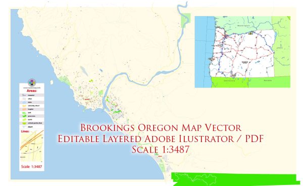
Brookings, Oregon, a general description of the town’s layout based on common features.
Brookings is a city located in Curry County, Oregon, along the southern Oregon coast. It’s known for its scenic beauty and proximity to the Pacific Ocean. Some of the main streets and roads in Brookings include:
- Chetco Avenue: This is one of the main thoroughfares running through the town, connecting various neighborhoods and businesses. It’s likely to have a mix of residential and commercial properties.
- Hemlock Street: Another important street, often found in the downtown area, where you might find shops, restaurants, and local businesses.
- Pacific Avenue: Given the town’s coastal location, there might be a street named Pacific Avenue that runs parallel to the ocean, providing access to coastal views and attractions.
- Fifth Street: In many towns, numbered streets like Fifth Street are common and could host a mix of residential and possibly some commercial properties.
- Highway 101: This is a major highway running along the U.S. West Coast, and it passes through Brookings. It’s a key route for both local and through traffic.
- Old County Road: Some towns have roads with names like “Old County Road,” which might reflect historical routes or former county boundaries.


 Author: Kirill Shrayber, Ph.D. FRGS