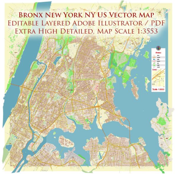
The Bronx, one of the five boroughs of New York City, is known for its diverse neighborhoods, cultural attractions, and historic sites. Some principal streets and roads that are significant in the borough.
- Grand Concourse: Often referred to as the “Champs-Élysées of the Bronx,” the Grand Concourse is a wide boulevard lined with art deco buildings. It runs north-south through the western part of the borough.
- Fordham Road: A major east-west thoroughfare, Fordham Road is known for its shopping district, including the Fordham University campus.
- East 149th Street: This street is a bustling commercial and transportation hub in the South Bronx, intersecting with the Grand Concourse.
- Pelham Parkway: A tree-lined boulevard with a median park, Pelham Parkway extends across the central part of the Bronx, providing a scenic route.
- Jerome Avenue: Running north-south, Jerome Avenue is a significant commercial and residential corridor, passing through various neighborhoods.
- Cross Bronx Expressway (I-95): A major east-west highway connecting the George Washington Bridge to the Bruckner Expressway, passing through the southern part of the Bronx.
- Bruckner Expressway (I-278): Running along the eastern edge of the Bronx, the Bruckner Expressway connects the Triborough Bridge to the Bronx River Parkway.
- Bronx River Parkway: A scenic parkway following the course of the Bronx River, offering green spaces and recreational areas.
- Westchester Avenue: An east-west thoroughfare that extends into the Bronx from Westchester County.
- Southern Boulevard: Running through the South Bronx, Southern Boulevard is a major street with a mix of residential and commercial areas.
These streets are just a few examples, and there are many more streets and roads in the Bronx that contribute to the borough’s diverse character. The Bronx is home to various neighborhoods, each with its own unique atmosphere and attractions.


 Author: Kirill Shrayber, Ph.D. FRGS