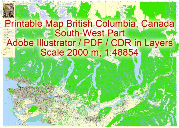
A general overview of the principal waterways and main roads in British Columbia, Canada. Please note that there may have been changes or developments since then, so it’s a good idea to consult more recent sources for the latest information.
Principal Waterways:
- Fraser River: The Fraser River is the longest river in British Columbia, flowing from the Rocky Mountains to the Pacific Ocean. It plays a crucial role in the province’s economy and transportation.
- Columbia River: While the Columbia River flows through multiple U.S. states, it also forms part of the border between British Columbia and Washington state.
- Kootenay River: This river flows through the Kootenay National Park, connecting several lakes and playing a role in hydroelectric power generation.
- Skeena River: Located in the northern part of the province, the Skeena River is known for its importance to the salmon fishery.
- Thompson River: A tributary of the Fraser River, the Thompson River flows through the interior of British Columbia.
Main Roads:
- Trans-Canada Highway (Highway 1): This is the primary east-west highway in British Columbia, connecting it to the rest of Canada. It passes through major cities like Vancouver and Kamloops.
- Highway 97: Running from the U.S. border in the south to the Yukon border in the north, Highway 97 is a major north-south route through the interior of the province.
- Highway 16 (Yellowhead Highway): This highway stretches across the province from the Alberta border to the Pacific coast, passing through Prince George and other communities.
- Sea-to-Sky Highway (Highway 99): Connecting Vancouver to Pemberton and Whistler, this scenic highway offers breathtaking views of the coastal mountains and the Pacific Ocean.
- Coquihalla Highway (Highway 5): Linking the Lower Mainland to the interior, the Coquihalla Highway is a major route known for its mountainous terrain and high-elevation passes.
Keep in mind that British Columbia has an extensive network of roads and highways, and these are just a few examples. Road and infrastructure development may have occurred after my last update, so it’s advisable to check more recent sources for the latest information on waterways and road networks in the province.


 Author: Kirill Shrayber, Ph.D. FRGS