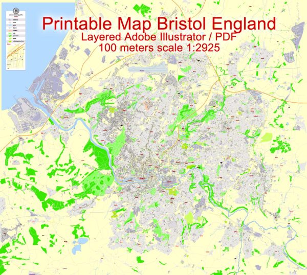
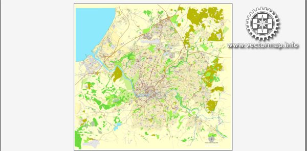
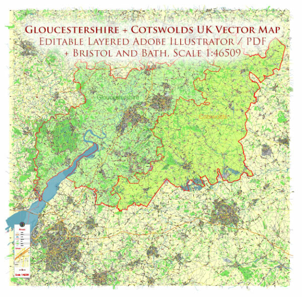
Bristol, a city in the southwest of England, has a network of streets and roads that form its urban layout. Here are some principal streets and roads in Bristol:
- Park Street: One of Bristol’s most iconic streets, Park Street is known for its steep incline and is lined with shops, cafes, and restaurants. It connects College Green to the Clifton Triangle area.
- Queen’s Road: Running through Clifton, Queen’s Road is a major route with shops, boutiques, and eateries. It intersects with Whiteladies Road and is close to the Clifton Down shopping center.
- Whiteladies Road: This road is a popular shopping and dining destination, especially in the Clifton area. It connects Clifton Triangle to Durdham Down and offers a mix of independent shops and chain stores.
- Baldwin Street: Located in the city center, Baldwin Street is known for its vibrant atmosphere and is home to various bars and restaurants. It runs from St. Stephen’s Street to the Bristol Bridge.
- Corn Street: A historic street in the city center, Corn Street features the St. Nicholas Market and is surrounded by historic buildings. It was once the commercial heart of medieval Bristol.
- Anchor Road: Situated along Bristol’s harborside, Anchor Road offers scenic views of the waterfront. It is close to popular attractions like the M Shed museum and the At-Bristol Science Centre.
- Bristol Ring Road (A4174): This road encircles the city, providing a convenient way to navigate around Bristol and connecting various neighborhoods and suburbs.
- M32 Motorway: Connecting Bristol to the M4 motorway, the M32 is a key route for those traveling to and from the city. It also passes through the Stokes Croft area.
- Cumberland Road: Running along the harborside, Cumberland Road offers picturesque views of the waterfront and is popular for leisurely walks. It connects the city center to Hotwells.
- Hotwell Road: Located in the Hotwells area, this road runs parallel to the harborside and is known for its historic buildings and access to the Clifton Suspension Bridge.
These are just a few examples, and there are many more streets and roads that make up the diverse and dynamic city of Bristol. The city’s layout includes a mix of historic streets, modern thoroughfares, and scenic routes along the harborside.


 Author: Kirill Shrayber, Ph.D. FRGS