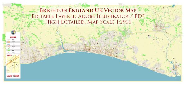
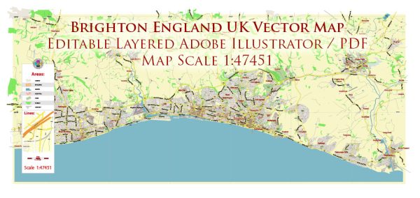
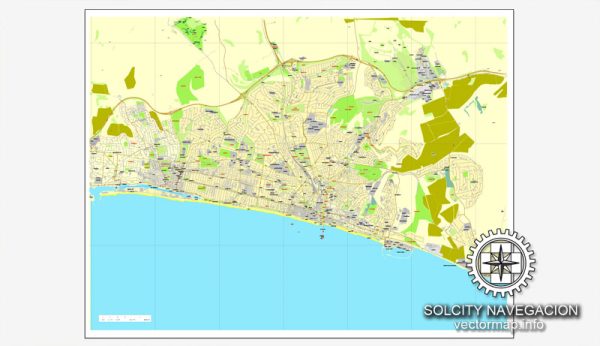
Brighton is a vibrant and popular coastal city in East Sussex, England, known for its lively atmosphere, diverse culture, and seaside attractions. Here are some principal streets and roads in Brighton:
- North Street:
- North Street is one of the major shopping streets in Brighton, lined with a variety of shops, restaurants, and cafes.
- It runs through the heart of the city and is a bustling hub for both locals and tourists.
- West Street:
- West Street is another central thoroughfare, known for its nightlife and entertainment.
- This street is home to many bars, clubs, and theaters, making it a popular destination in the evening.
- Queens Road:
- Queens Road is a key route connecting the city center to the Brighton train station.
- It features a mix of shops, offices, and restaurants, serving as a busy commercial area.
- Western Road:
- Western Road is a major shopping street in Brighton, offering a wide range of high-street and independent stores.
- It extends from the clock tower in the city center to the Hove border.
- Church Street:
- Church Street is located in the historic area of The Lanes, known for its narrow, winding streets and unique shops.
- This street is lined with antique stores, boutiques, and cafes, creating a charming atmosphere.
- Kings Road:
- Kings Road runs along the seafront and is known for its stunning views of the English Channel.
- It’s a popular spot for a leisurely stroll, with various cafes and restaurants offering seaside dining.
- Marine Parade:
- Marine Parade is a major road along the seafront, offering panoramic views of the Brighton Pier and the beach.
- It’s a lively area with attractions, amusements, and outdoor activities.
- Madeira Drive:
- Madeira Drive is a historic seafront road hosting events like the Brighton Marathon and classic car rallies.
- The Victorian arches along the road house shops and cafes, contributing to the unique character of the seafront.
- Dyke Road:
- Dyke Road is an important route leading to the A27, connecting Brighton to the surrounding areas.
- It passes through residential neighborhoods and provides access to parks and green spaces.
- Lewes Road:
- Lewes Road is a major thoroughfare that leads out of the city towards Lewes and other parts of East Sussex.
- It is a diverse area with a mix of residential buildings, shops, and amenities.
These streets and roads collectively showcase the diverse and vibrant character of Brighton, offering a mix of shopping, entertainment, history, and seaside experiences.


 Author: Kirill Shrayber, Ph.D. FRGS