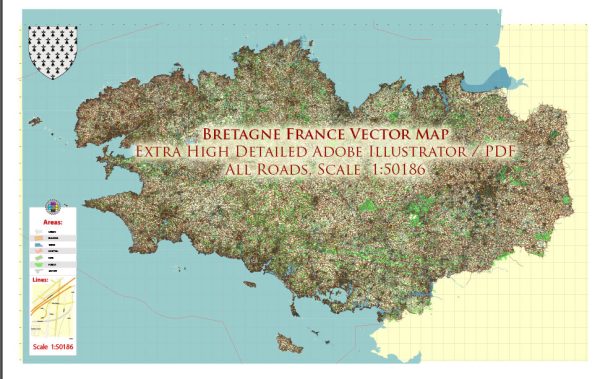
Brittany (Bretagne in French) is a region located in the northwest of France. It is known for its rugged coastline, historic towns, and distinct Celtic culture. The principal waterways and railroads in Brittany play a crucial role in the region’s transportation infrastructure.
Waterways:
- Rivers:
- The Vilaine River: One of the major rivers in Brittany, the Vilaine River flows through the eastern part of the region. It is navigable and serves as a significant waterway for transportation.
- Canals:
- The Nantes-Brest Canal: This historic canal spans across Brittany, connecting the cities of Nantes and Brest. It provides a picturesque and leisurely route for both boaters and cyclists.
Railroads:
- High-Speed Rail (TGV):
- Brittany is well-connected to the French high-speed rail network. The TGV (Train à Grande Vitesse) service links major cities in Brittany, such as Rennes, with other parts of France. This enhances transportation efficiency and makes it easier for both passengers and goods to move across the country.
- Regional Railways:
- The regional railway network in Brittany is operated by TER (Transport Express Régional). It connects smaller towns and cities within the region, facilitating local transportation.
- Rennes:
- Rennes, the capital of Brittany, is a major railway hub. It serves as a central point for rail connections within the region and beyond.
- Coastal Railways:
- The rail network in Brittany often follows the scenic coastline, offering passengers beautiful views of the sea. This not only serves practical transportation needs but also enhances the travel experience.
The combination of waterways and railroads in Brittany reflects the region’s commitment to efficient transportation and connectivity. These infrastructure elements play a crucial role in supporting economic activities, tourism, and the overall development of the region.


 Author: Kirill Shrayber, Ph.D. FRGS