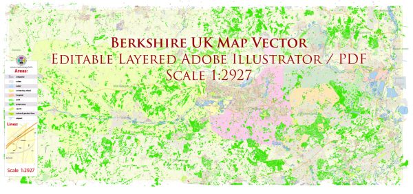
Principal streets and roads in Berkshire, UK, a general overview of the road network and some key roads that are typically significant in many regions.
Berkshire is a county in South East England, and its road network is well-developed, connecting towns and villages across the region. Major roads and highways often include:
- M4 Motorway: One of the main motorways in the area, connecting London to South Wales and passing through Berkshire.
- A4 Road: Running parallel to the M4, the A4 is a major route connecting London to Bristol and passing through Berkshire. It goes through towns like Slough and Maidenhead.
- A329(M): This is a short motorway connecting the M4 near Reading to Bracknell.
- A33 Road: Connecting Reading to Basingstoke, passing through towns like Hook.
- A404(M): A motorway spur connecting the M4 near Maidenhead to the A404 towards High Wycombe.
- M3 Motorway: While not entirely within Berkshire, the M3 runs to the south of the county, providing a link to London and the south coast.
For more specific and up-to-date information, especially on local streets within towns and cities, it’s recommended to refer to local maps, navigation apps, or official local government resources. Local authorities often provide detailed maps and information about the road network in their areas.


 Author: Kirill Shrayber, Ph.D.