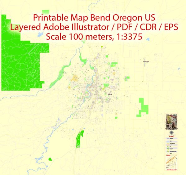
Bend, Oregon, a general overview of some principal streets and roads in Bend based on common knowledge.
- Century Drive (Highway 372): Also known as the Cascade Lakes Scenic Byway, it runs southwest from Bend and provides access to popular outdoor destinations and recreation areas.
- Franklin Avenue: A major east-west road through the heart of Bend, connecting the Old Mill District to downtown.
- Greenwood Avenue: Another east-west thoroughfare that intersects with Franklin Avenue and connects various neighborhoods.
- Galveston Avenue: Running north-south, it is known for its shops, restaurants, and proximity to Drake Park.
- Third Street (Highway 97): A significant north-south route passing through Bend, connecting the city to Redmond to the north and points south.
- Reed Market Road: An east-west road connecting the southeastern neighborhoods to the central part of Bend.
- Wilson Avenue: Running north-south, it is located on the west side of the Deschutes River and provides access to residential areas and parks.
- Brookswood Boulevard: Connecting the southwest part of Bend, it is a key road for accessing residential neighborhoods and businesses.
- Bond Street: A downtown street known for its shops, restaurants, and cultural attractions.
- Newport Avenue: Another downtown street with businesses and eateries, connecting to Galveston Avenue.
- Colorado Avenue: Parallel to Galveston Avenue, it runs through the west side of Bend and is home to various businesses.
Please note that the road network and street infrastructure can change, and new developments may have occurred since my last update. For the most accurate and up-to-date information, you may want to refer to a current map of Bend, Oregon, or consult local resources.


 Author: Kirill Shrayber, Ph.D. FRGS