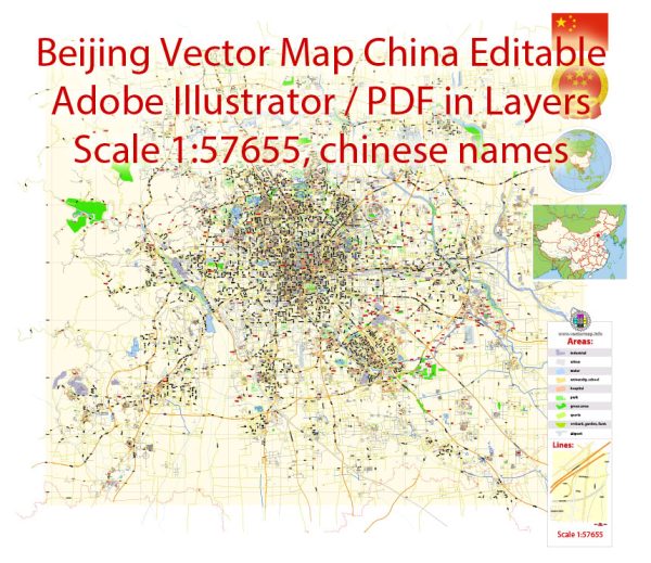
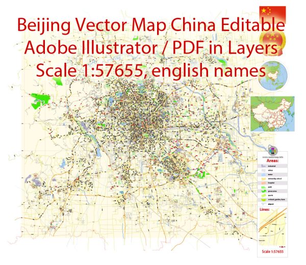
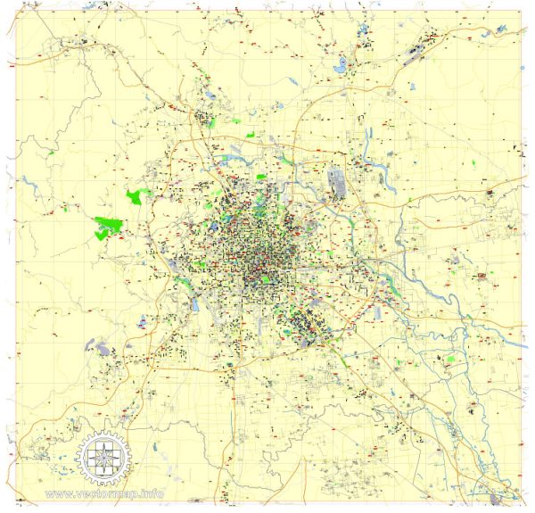
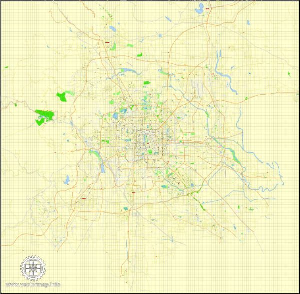
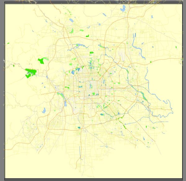
Information about some of the principal streets and roads in Beijing, China. Here are some notable streets and roads in Beijing:
- Chang’an Avenue (长安街): This is one of the main boulevards in Beijing and is often referred to as the “longest street in the world.” It runs east-west through the city and is home to many important government buildings and landmarks.
- Wangfujing Street (王府井大街): A famous shopping street located in Dongcheng District, known for its traditional and modern shops, as well as its snack street offering a variety of local delicacies.
- Dongzhimen Street (东直门大街): Located in Dongcheng District, it is a major transportation hub with the Dongzhimen Transportation Hub connecting to the airport express and several subway lines.
- Guanghua Road (光华路): Situated in the Chaoyang District, this street is known for its electronic markets and technology-focused stores.
- Jianguomen Inner Street (建国门内大街): Running through the central business district, this street is surrounded by high-rise buildings and is a commercial and financial hub.
- Xidan North Street (西单北大街): A popular shopping area in Xicheng District, known for its malls, department stores, and shops.
- Sanlitun Bar Street (三里屯酒吧街): Located in the Chaoyang District, this street is famous for its nightlife, with numerous bars, clubs, and restaurants.
- Nanluoguxiang (南锣鼓巷): A well-preserved ancient alley or hutong in Dongcheng District, known for its traditional architecture, boutiques, and trendy cafes.
- Beijing West Chang’an Avenue (西长安街): Another section of Chang’an Avenue, running westward and passing through the Xicheng District.
- Fuchengmen Inner Street (阜成门内大街): Located in the Xicheng District, it’s an important thoroughfare with historical significance.
Remember that Beijing is a vast city with an extensive road network, and these are just a few examples of its principal streets and roads. It’s always a good idea to have an updated map or navigation app to help you navigate the city effectively.

 Author: Kirill Shrayber, Ph.D. FRGS