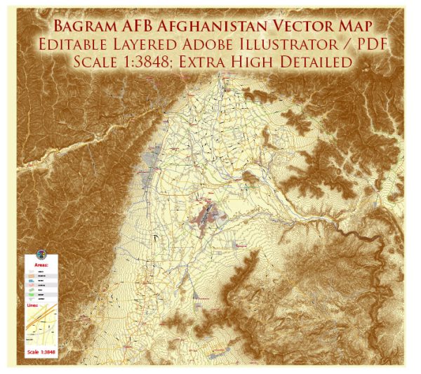
Bagram Air Force Base in Afghanistan is primarily a military installation, and as such, it doesn’t have the same type of landmarks or iconic buildings as you might find in civilian cities. However, there are key facilities and structures within the base that serve important functions.
- Flightline and Hangars: Bagram Air Base has a significant flightline with various hangars and maintenance facilities where military aircraft are parked, serviced, and repaired. These structures are essential for the operation and maintenance of the base’s air assets.
- Control Tower: Like any military airfield, Bagram has a control tower that oversees the takeoff and landing of aircraft, ensuring the safe and orderly flow of air traffic.
- Bagram Airfield Hospital: The base includes medical facilities, such as a hospital, to provide medical care to military personnel serving at the base.
- Barracks and Living Quarters: There are various buildings dedicated to housing military personnel on the base. These may include barracks, dormitories, and other living quarters.
- Command and Operations Centers: Bagram houses command and control centers where military operations are coordinated. These facilities are critical for overseeing missions, intelligence, and communication.
- Ammunition Storage Areas: Given its military nature, Bagram likely has facilities for storing and managing ammunition and other military equipment.
- Recreation Facilities: There may be recreation facilities on the base, such as gyms, sports fields, and common areas for leisure activities to support the well-being of the military personnel stationed there.
It’s important to note that Bagram Air Force Base has been subject to changes in ownership and operational status over the years. As of my last knowledge update, the United States had handed over control of the base to Afghan forces, but the situation might have evolved since then. The specific functions and structures within the base can also change based on the military’s operational needs and strategic decisions.


 Author: Kirill Shrayber, Ph.D. FRGS