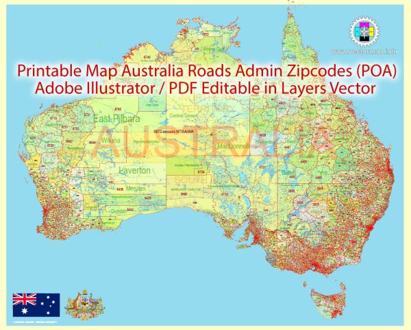
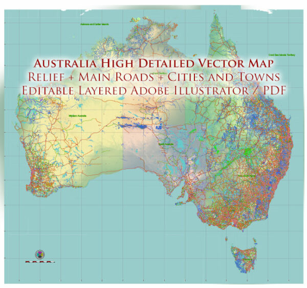
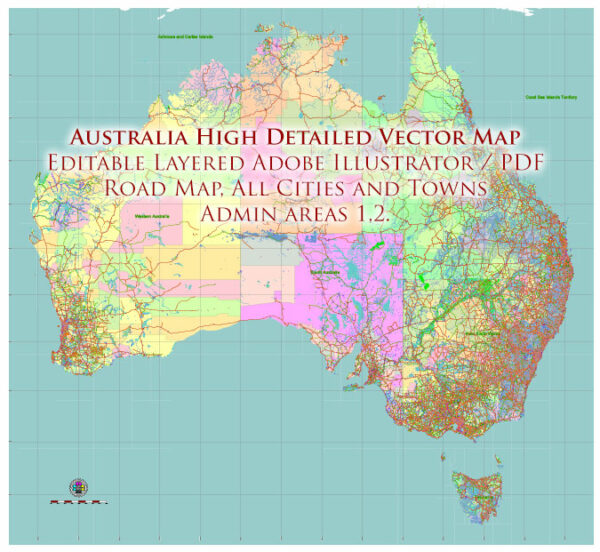
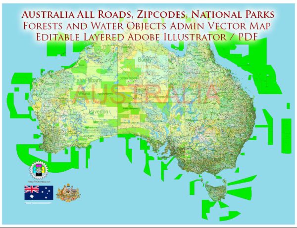
A general overview of Australia’s principal roads and railroads.
Principal Roads:
- National Highway Network:
- The National Highway Network consists of major highways connecting key cities and regions across the country.
- Examples include the Pacific Highway (connecting Sydney and Brisbane), the Hume Highway (connecting Sydney and Melbourne), and the Great Eastern Highway (connecting Perth and the eastern states).
- State and Territory Highways:
- Each state and territory has its own network of highways connecting major cities and regional centers.
- Examples include the Western Ring Road in Melbourne, the Mitchell Freeway in Perth, and the Ipswich Motorway in Brisbane.
- Outback Roads:
- Australia has an extensive network of roads that traverse remote and rural areas, commonly referred to as outback roads.
- These roads may be unsealed and require careful planning for long-distance travel.
- Urban Roads:
- Major cities like Sydney, Melbourne, Brisbane, Perth, Adelaide, and Canberra have extensive road networks catering to urban transportation.
Railroads:
- Trans-Australian Railway:
- The Trans-Australian Railway is a major east-west rail link connecting Perth on the west coast to Sydney and Melbourne on the east coast.
- It plays a crucial role in transporting goods and passengers across the continent.
- Indian Pacific and The Ghan:
- These are iconic passenger trains operated by Great Southern Rail that traverse long distances.
- The Indian Pacific travels from Sydney to Perth, while The Ghan travels from Adelaide to Darwin.
- Freight Railways:
- Australia has an extensive freight rail network used for transporting goods over long distances.
- Major freight rail operators include Aurizon, Pacific National, and SCT Logistics.
- Urban Rail Networks:
- Major cities have suburban train networks for commuter transportation.
- Examples include Sydney Trains, Melbourne Metro, Transperth in Perth, and Queensland Rail in Brisbane.
- Inland Rail Project:
- The Inland Rail is a significant ongoing infrastructure project aiming to create a freight rail corridor connecting Melbourne and Brisbane, improving the efficiency of freight transportation.
Please note that the information provided here is a general overview, and for the most up-to-date and detailed information, it’s advisable to refer to official transport and infrastructure sources in Australia.


 Author: Kirill Shrayber, Ph.D. FRGS