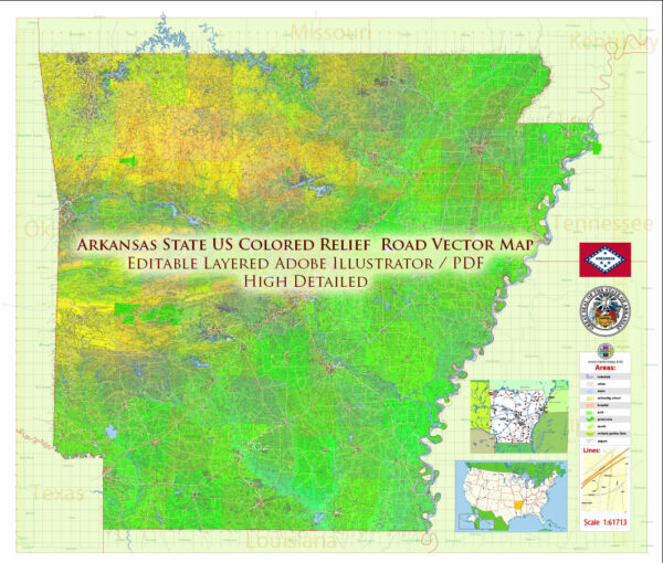
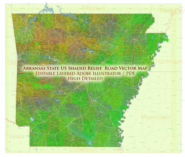
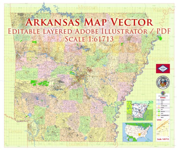
Arkansas, a general overview of the principal roads and railroads in the state.
Principal Roads:
- Interstate Highways:
- I-30: Runs southwest to northeast, connecting Texarkana to Little Rock and beyond.
- I-40: Crosses the state from the west to the east, passing through Little Rock.
- I-55: Briefly enters northeastern Arkansas, connecting Memphis, Tennessee, to Missouri.
- U.S. Highways:
- US 62: Travels across northern Arkansas, connecting Oklahoma to Tennessee.
- US 65: Runs north-south through central Arkansas.
- US 67: Extends from the Missouri border in the north to the Louisiana border in the south.
- State Highways:
- Arkansas has an extensive network of state highways, connecting cities and towns throughout the state. Some important ones include State Highway 7, State Highway 5, and State Highway 22.
Railroads:
Arkansas has a well-developed railroad network, historically vital for transporting goods and passengers. Major railroad companies operate in the state, and rail lines connect key cities and industrial areas. Specific details about railroads, including companies and routes, may have changed since my last update.
For the most current and detailed information, it is recommended to consult the latest resources such as the Arkansas Department of Transportation or other transportation authorities. They can provide up-to-date information on road networks, construction projects, and railroad developments in the state.


 Author: Kirill Shrayber, Ph.D. FRGS