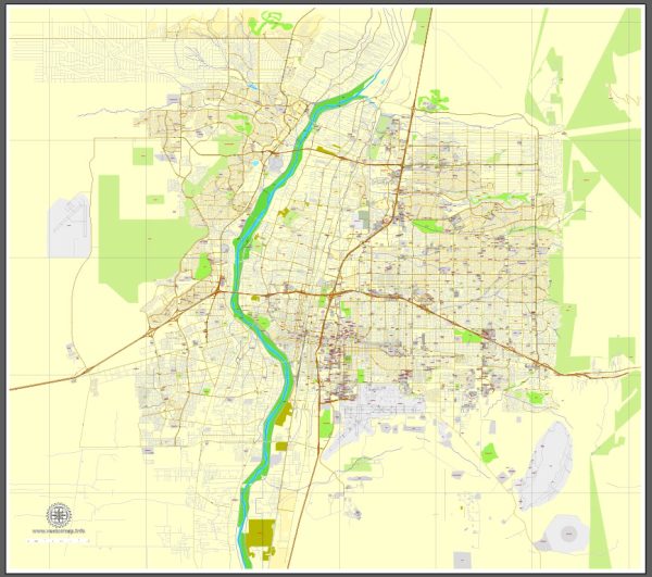
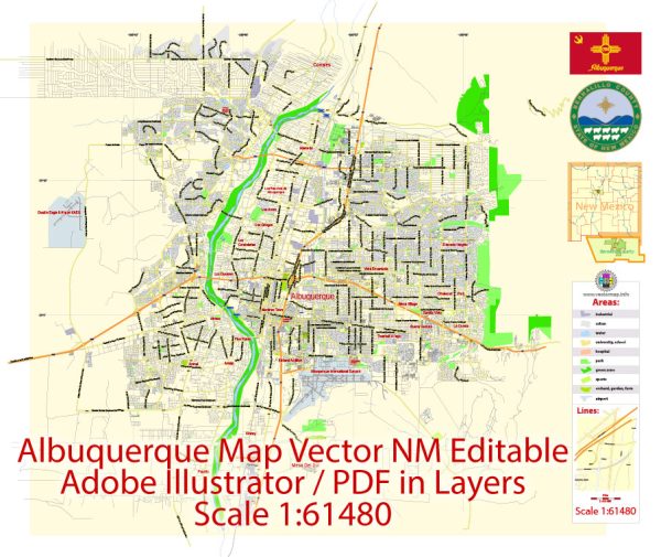
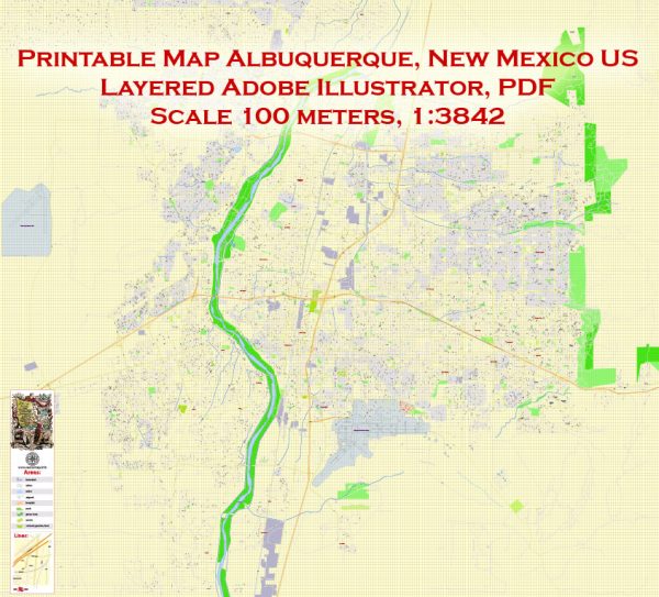
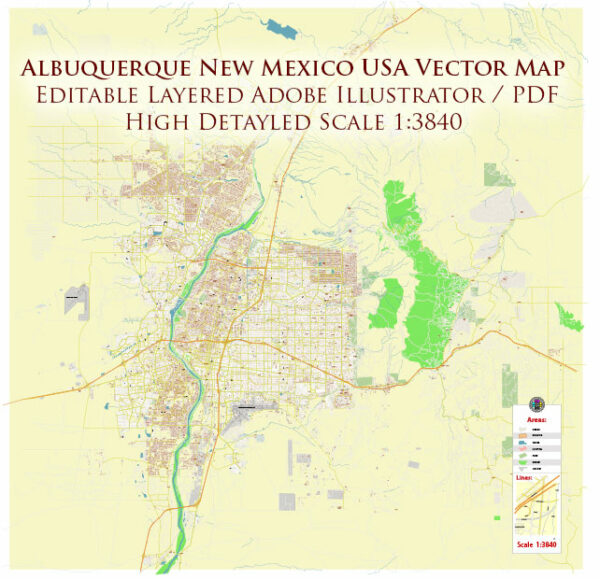
Albuquerque, New Mexico, is a city with a well-defined street grid, and several major streets and roads traverse the area. While I can’t provide real-time information or the most current changes, here is a general description of some principal streets and roads in Albuquerque:
- Central Avenue (Historic Route 66):
- Central Avenue is one of the main east-west thoroughfares in Albuquerque.
- It runs through the heart of the city and is known for its historic significance as part of Route 66.
- Central Avenue is lined with businesses, restaurants, and shops.
- Interstate 25 (I-25):
- I-25 is a major north-south interstate highway that passes through Albuquerque.
- It connects the city to Santa Fe to the north and Las Cruces and El Paso, Texas, to the south.
- Interstate 40 (I-40):
- I-40 is a major east-west interstate that intersects with I-25 in Albuquerque.
- It provides a key transportation route across the country, connecting California to North Carolina.
- Paseo del Norte:
- Paseo del Norte is a significant east-west arterial road in the northern part of the city.
- It provides a route for commuters and connects to various neighborhoods and business areas.
- Coors Boulevard:
- Coors Boulevard is a major north-south road on the western side of Albuquerque.
- It provides access to residential areas, shopping centers, and connects to I-40.
- Montgomery Boulevard:
- Montgomery Boulevard is an east-west road that spans across the city, providing access to various neighborhoods and commercial districts.
- Tramway Boulevard:
- Tramway Boulevard runs along the eastern foothills of the city and offers scenic views of the Sandia Mountains.
- It is a key route and connects to residential areas and recreational sites.
- Wyoming Boulevard:
- Wyoming Boulevard is another major north-south road in the city, providing access to residential and commercial areas.
- Gibson Boulevard:
- Gibson Boulevard runs east-west through the southern part of the city, connecting different neighborhoods and commercial zones.
- University Boulevard:
- University Boulevard is located near the University of New Mexico campus and provides access to educational and cultural facilities.
Keep in mind that road names and conditions can change, and there may be additional local roads and streets that are important for navigation. It’s always a good idea to use a current map or navigation system for the most accurate information.


 Author: Kirill Shrayber, Ph.D. FRGS