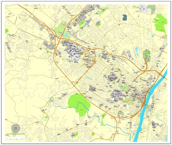
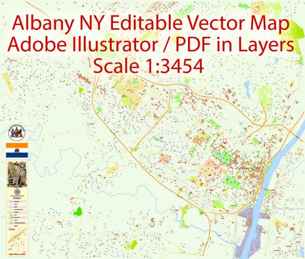
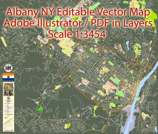
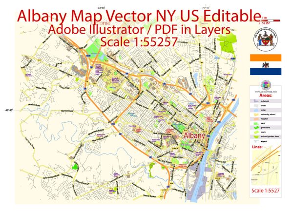
Albany, the capital of New York State, is known for its historic architecture, vibrant culture, and important role in American history. The city is laid out in a grid pattern with several principal streets and roads. Here’s a brief description of some of the major streets and roads in Albany:
- State Street: State Street is a prominent east-west thoroughfare that runs through the heart of downtown Albany. It is home to many government buildings, including the New York State Capitol and the New York State Museum.
- Broadway: Broadway is another significant street in Albany, running parallel to State Street. It is known for its commercial and retail establishments and connects downtown Albany to the northern neighborhoods.
- Central Avenue: Running east-west, Central Avenue is a major commercial corridor with a diverse range of shops, restaurants, and businesses. It connects downtown Albany to the western suburbs and is a hub of activity.
- Washington Avenue: This avenue runs west from the Empire State Plaza and serves as a key route for accessing the University at Albany’s uptown campus, the Harriman State Office Campus, and various residential areas.
- Western Avenue: Western Avenue runs west from Washington Park and provides access to the Pine Hills neighborhood, the University at Albany’s downtown campus, and the Albany Medical Center.
- Lark Street: Lark Street is a popular and eclectic street in the Center Square neighborhood known for its unique shops, art galleries, and a variety of restaurants and cafes. It has a vibrant and artsy atmosphere.
- Madison Avenue: Madison Avenue is a major east-west road that passes through the Pine Hills neighborhood and connects downtown Albany to the New Scotland and Buckingham Lake neighborhoods.
- Quail Street: This street is notable for its role in connecting the downtown area to the Arbor Hill and West Hill neighborhoods.
- I-787 (North and South): This interstate highway runs along the Hudson River, providing access to downtown Albany and connecting the city to other parts of the Capital Region.
- I-90 (New York State Thruway): While not within the city limits, I-90 is a major east-west interstate that passes just south of Albany, providing a crucial transportation link for the region.
These are just a few examples of the principal streets and roads in Albany. The city’s layout is generally easy to navigate, and its diverse neighborhoods offer a mix of historical charm and modern amenities.

 Author: Kirill Shrayber, Ph.D. FRGS