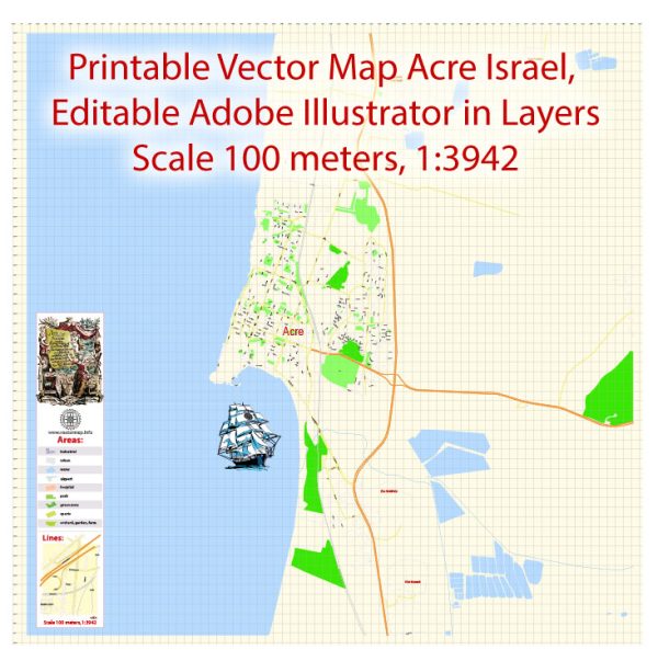
Acre (also known as Akko) is a city in northern Israel with a rich history that dates back thousands of years. The city has been influenced by various civilizations, including the Phoenicians, Romans, Crusaders, Ottomans, and more. Acre is recognized for its well-preserved historic sites and landmarks. Here are some of the most famous buildings and landmarks in Acre:
- Old City of Acre (Akko): A UNESCO World Heritage Site, the Old City of Acre is a maze of narrow streets, alleys, and historical buildings. It includes various structures from different periods, showcasing the city’s diverse history.
- Akko Citadel (Acre Fortress): The citadel is a prominent medieval fortress located on the northern tip of the Old City. It played a crucial role during the Crusades and has undergone various modifications over the centuries.
- Al-Jazzar Mosque: Built in the late 18th century by the Ottoman governor Ahmad Pasha al-Jazzar, this mosque is one of the most significant in Acre. It features impressive architecture and a unique minaret.
- Knights’ Halls: Within the Old City, there are well-preserved halls that were once part of the Crusader fortress. These halls served various purposes, including as a dining hall and a courtroom.
- The Hospitaller Fortress (The Knights’ Hospitaller): Also known as the Knights’ Halls, this complex includes various rooms and halls built by the Knights Hospitaller during the Crusader period. It is a UNESCO World Heritage Site.
- Khan al-Umdan: This is a historic caravanserai (inn) built during the Ottoman period. Its name translates to “Inn of the Pillars.” The building served as a marketplace and a meeting place for merchants.
- Templars’ Tunnel: An underground tunnel that was used by the Crusaders to access the port without being exposed to potential dangers. The tunnel is now open to the public for guided tours.
- Acre Port: The city’s harbor has a long history and was an essential maritime center. Today, visitors can stroll along the waterfront, enjoy the view, and explore the remnants of ancient port structures.
Keep in mind that new developments and discoveries may have occurred since my last update, so it’s advisable to check for the latest information if you’re planning to visit Acre.


 Author: Kirill Shrayber, Ph.D. FRGS