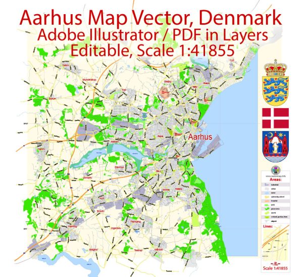
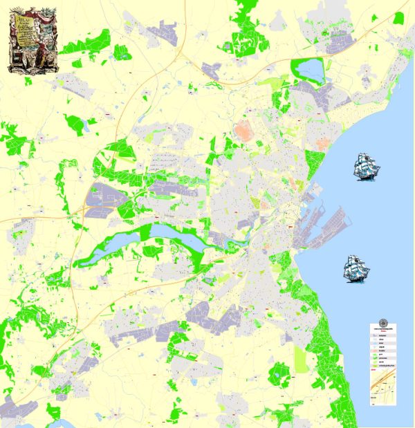
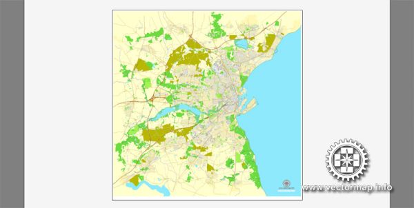
Aarhus is a city in Denmark, some general information about its infrastructure.
Waterways: Aarhus is located on the eastern coast of the Jutland peninsula, and it has a natural harbor that has been historically significant for trade and transportation. The Port of Aarhus is one of the largest container ports in Denmark. It plays a vital role in the import and export of goods, connecting Aarhus to various international destinations. The harbor facilitates both passenger and freight traffic, contributing to the city’s economic activities.
Railroads: Aarhus has a well-developed railway network, connecting the city to other major Danish cities and European destinations. The main railway station in Aarhus is Aarhus Hovedbanegård (Aarhus Central Station), which is centrally located and serves as a major transportation hub. The rail network allows for efficient travel within Denmark and to neighboring countries. High-speed trains, regional trains, and other services operate from Aarhus Central Station, providing residents and visitors with convenient rail transportation options.
Keep in mind that developments in infrastructure may have occurred after my last update, and it’s recommended to refer to local sources or official transportation authorities for the latest and most accurate information on Aarhus’s waterways and railroads.


 Author: Kirill Shrayber, Ph.D. FRGS