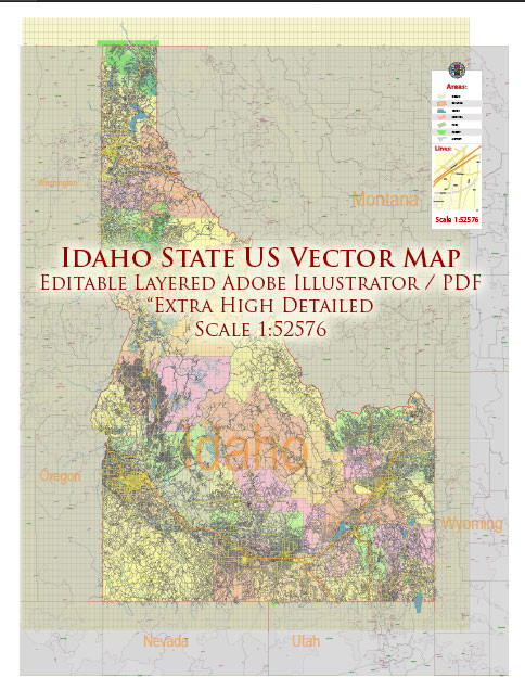
Idaho’s transportation infrastructure includes a network of roads and railroads that facilitate the movement of people and goods throughout the state. Here’s an overview of some principal roads and railroads in Idaho:
Principal Roads:
- Interstate 84 (I-84):
- Runs east-west through southern Idaho, connecting major cities such as Boise, Nampa, and Twin Falls.
- Serves as a key transportation corridor for both local and interstate commerce.
- Interstate 15 (I-15):
- Travels north-south through the eastern part of the state, connecting Idaho Falls, Pocatello, and the Montana border.
- Plays a crucial role in linking Idaho to other states in the Intermountain West.
- U.S. Route 20 (US-20):
- Crosses the state from the Oregon border in the west to the Montana border in the east.
- Passes through cities such as Boise, Mountain Home, and Idaho Falls.
- U.S. Route 93 (US-93):
- Runs north-south, connecting the southern and northern parts of the state.
- Passes through cities like Twin Falls and Challis.
- U.S. Route 95 (US-95):
- Travels north-south through western Idaho, connecting cities like Coeur d’Alene, Moscow, and Lewiston.
- A major route for transportation between the northern and southern parts of the state.
Railroads:
- Union Pacific Railroad:
- Operates major rail lines through southern Idaho, connecting cities like Boise and Nampa.
- Plays a vital role in transporting goods, including agricultural products and manufactured goods.
- BNSF Railway:
- Runs through northern Idaho, serving cities like Sandpoint and Coeur d’Alene.
- Important for the transportation of commodities such as timber, minerals, and agricultural products.
- Montana Rail Link:
- Extends into the northern part of Idaho, connecting the state with rail networks in Montana.
- Facilitates the transportation of goods between the two states.
- Idaho Northern and Pacific Railroad:
- Operates in the western part of the state, serving communities like Caldwell and Homedale.
- Provides freight transportation services, supporting local industries.
- Eastern Idaho Railroad:
- Operates in eastern Idaho, connecting areas around Idaho Falls and Blackfoot.
- Focuses on transporting agricultural products, including grains and potatoes.
These roads and railroads contribute significantly to Idaho’s economy by facilitating the movement of agricultural products, natural resources, and manufactured goods. They also play a crucial role in connecting the state to regional and national transportation networks.


 Author: Kirill Shrayber, Ph.D.