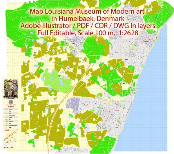
Humlebæk is a small town in Denmark, and while it doesn’t have an extensive network of streets and roads like larger cities, it does have a few key thoroughfares that serve the local community. Here are some principal streets and roads in and around Humlebæk:
- Strandvejen:
- Strandvejen is a major road that runs along the coast, and it is known for its scenic views of the Øresund Sound.
- The Louisiana Museum of Modern Art is located along this road, making it a notable route for visitors to the museum.
- Humlebæk Strandvej:
- This road runs through Humlebæk and connects with Strandvejen.
- It provides access to various local amenities, residences, and potentially leads to the harbor area.
- Humlebæk Bygade:
- Humlebæk Bygade is likely one of the central streets in the town, hosting local businesses, shops, and possibly residential areas.
- It may serve as a main route through the town center.
- Esrumvej:
- Esrumvej could be another road in the vicinity, possibly connecting Humlebæk to neighboring areas.
- Nivåvej:
- Nivåvej may be a road providing access to nearby areas, including the town of Nivå.
- Local Residential Streets:
- In addition to the main roads mentioned, there will be various smaller streets and residential areas within Humlebæk, providing access to homes and local services.
It’s important to note that Humlebæk is well-connected to larger cities in the region, such as Copenhagen, via the road network. The town’s proximity to major roads allows residents and visitors to easily travel to and from the area.
For the most up-to-date and detailed information on streets and roads in Humlebæk, it’s recommended to consult local maps, navigation apps, or reach out to local authorities or tourist information centers.


 Author: Kirill Shrayber, Ph.D. FRGS