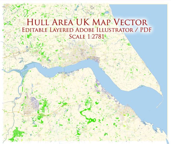
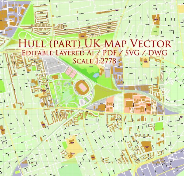
Hull, officially known as Kingston upon Hull, is a city in the East Riding of Yorkshire, England. Here are some principal streets and roads in Hull:
- Hessle Road: A major road that runs westwards from the city center towards the town of Hessle, passing through the west of Hull.
- Anlaby Road: Connects the city center to the suburb of Anlaby, running westward. It is a significant route with various shops and businesses.
- Beverley Road: A major road that extends north from the city center to the town of Beverley. It is a busy thoroughfare with shops, restaurants, and residential areas.
- Spring Bank: A road that runs west from the city center, connecting to Spring Bank West. It is a commercial and residential area with various amenities.
- Holderness Road: Extending eastward from the city center, it is a significant route with shops, businesses, and residential areas.
- Ferensway: This is a central road in Hull, connecting the Paragon Interchange (railway station and bus station) to the city center. It is home to St Stephen’s shopping center.
- Cottingham Road: Connecting the city center to the suburb of Cottingham, this road is significant for both residential and commercial purposes.
- Newland Avenue: Located to the northwest of the city center, Newland Avenue is known for its independent shops, cafes, and restaurants. It is a popular area among students.
- Castle Street: Runs southward from the city center towards the River Humber, passing near Hull’s historic Old Town and Hull Marina.
- Clough Road: Located to the north of the city center, Clough Road is an important route with industrial areas and educational institutions.
These are just a few of the principal streets and roads in Hull, and the city has a network of roads connecting various neighborhoods, suburbs, and commercial areas. Keep in mind that urban landscapes may change over time, so it’s advisable to check for the latest updates or consult local maps for the most accurate information.


 Author: Kirill Shrayber, Ph.D. FRGS