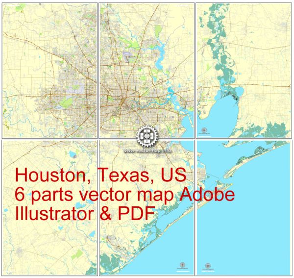
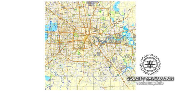
Houston, Texas, has a diverse and expansive transportation system that includes highways, public transit, airports, and ports. Here’s an overview of the principal components of Houston’s transportation infrastructure:
- Highways:
- Interstate Highways: Houston is served by several major interstate highways, including I-10 (east-west), I-45 (north-south), I-69/US 59 (north-south), and I-610 (inner loop).
- State Highways: In addition to the interstates, various state highways such as Texas State Highway 6 and US Highway 290 play crucial roles in connecting different parts of the city and its suburbs.
- Beltway System:
- Beltway 8 (Sam Houston Tollway): This tollway forms a loop around the Houston metropolitan area, providing a way to bypass the city’s center and connecting various suburban areas.
- Public Transit:
- METRO: The Metropolitan Transit Authority of Harris County (METRO) operates Houston’s public transit system. This includes a network of buses, light rail (METRORail), and commuter services. METRORail has three lines: Red Line, Green Line, and Purple Line, serving different parts of the city.
- Airports:
- George Bush Intercontinental Airport (IAH): Located north of downtown Houston, IAH is one of the major airports serving the region, handling domestic and international flights.
- William P. Hobby Airport (HOU): Situated southeast of downtown, Hobby Airport primarily serves domestic flights and is a hub for low-cost carriers.
- Port of Houston:
- Port of Houston Authority: Houston’s port is a vital hub for maritime commerce, ranking as one of the busiest ports in the United States. It includes the Barbours Cut Container Terminal and Bayport Container Terminal.
- Freight Rail:
- Union Pacific and BNSF Railway: Houston is served by major freight railroads, facilitating the movement of goods and materials.
- Cycling Infrastructure:
- Houston has been working on expanding its cycling infrastructure, including bike lanes and trails, to promote alternative modes of transportation.
- Taxis, Ride-Sharing, and Car Services:
- Traditional taxis, as well as ride-sharing services like Uber and Lyft, are widely available in the city, providing flexible transportation options.
- Road Network:
- Houston’s road network includes a grid system, with major streets and thoroughfares connecting different neighborhoods and commercial areas.
- Pedestrian Infrastructure:
- Efforts have been made to enhance pedestrian infrastructure in certain areas, including the construction of sidewalks, crosswalks, and pedestrian-friendly spaces.
Houston’s transportation system is designed to accommodate the needs of its large and diverse population, as well as the city’s role as a major economic and cultural hub in the region. The system is continually evolving to address the challenges posed by the city’s growth and to provide efficient and sustainable transportation options.


 Author: Kirill Shrayber, Ph.D. FRGS