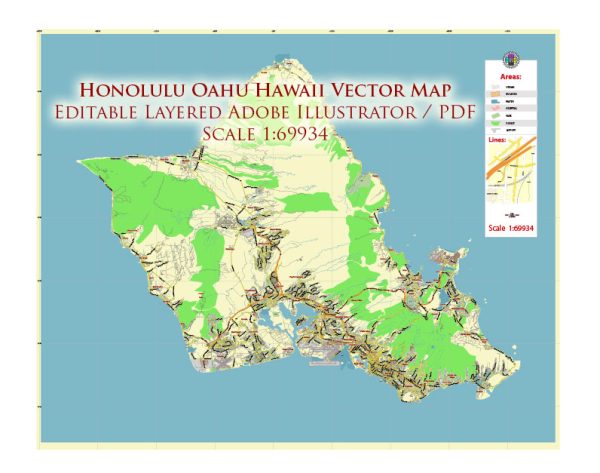
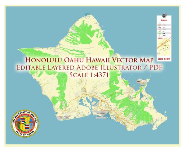
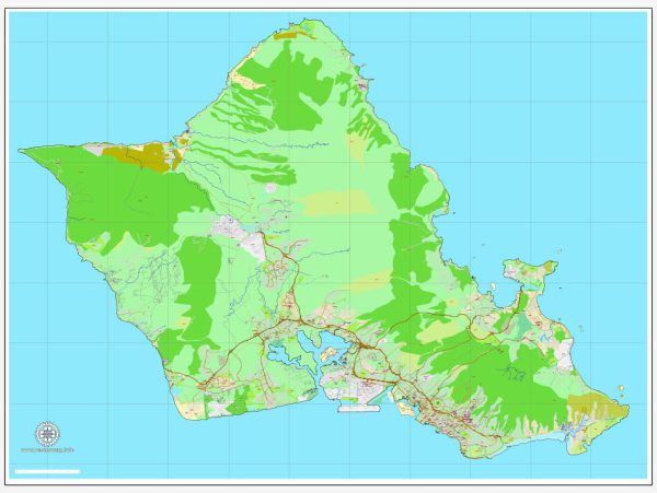
Honolulu, located on the island of Oahu in Hawaii, has a well-planned street and road system that facilitates easy navigation around the city. Here are some of the principal streets and roads in Honolulu:
- King Street: One of the major east-west thoroughfares in downtown Honolulu, King Street runs from the central business district towards the University of Hawaii at Manoa.
- Beretania Street: Another important east-west street, Beretania Street intersects with King Street and is known for its commercial and residential areas.
- Kapiolani Boulevard: Running parallel to King Street, Kapiolani Boulevard is a major thoroughfare that connects Waikiki to the Ala Moana area. It is home to shopping centers, restaurants, and businesses.
- Ala Moana Boulevard: This road runs along the waterfront and connects Waikiki to downtown Honolulu. It is known for its scenic views of the ocean and is a popular route for locals and tourists alike.
- Nimitz Highway: Nimitz Highway is a major east-west route that runs along the waterfront and connects the airport area to downtown Honolulu. It is often used as a gateway to Pearl Harbor.
- H-1 Freeway: The H-1 is a major interstate highway that connects Honolulu to other parts of Oahu, including the airport, Pearl Harbor, and the western part of the island.
- Pali Highway (State Route 61): Leading from downtown Honolulu to the Windward side of the island, the Pali Highway offers breathtaking views as it passes through the Pali Tunnels and the Nuuanu Pali Lookout.
- Likelike Highway (State Route 63): Connecting Honolulu to Kaneohe, the Likelike Highway provides an alternative route to the Windward side, passing through the Wilson Tunnel.
- Kalakaua Avenue: Located in Waikiki, Kalakaua Avenue is a famous street lined with hotels, shops, and restaurants. It’s a hub of tourist activity and nightlife.
- University Avenue: Running through the University of Hawaii at Manoa campus, University Avenue is an important road connecting the university to surrounding neighborhoods.
These are just a few of the principal streets and roads in Honolulu. The city’s layout is generally grid-like, and many streets are named after Hawaiian royalty, historical figures, or natural features. Keep in mind that traffic conditions can vary, especially during peak hours, so it’s always a good idea to check real-time traffic updates if you’re planning to navigate through the city.


 Author: Kirill Shrayber, Ph.D. FRGS