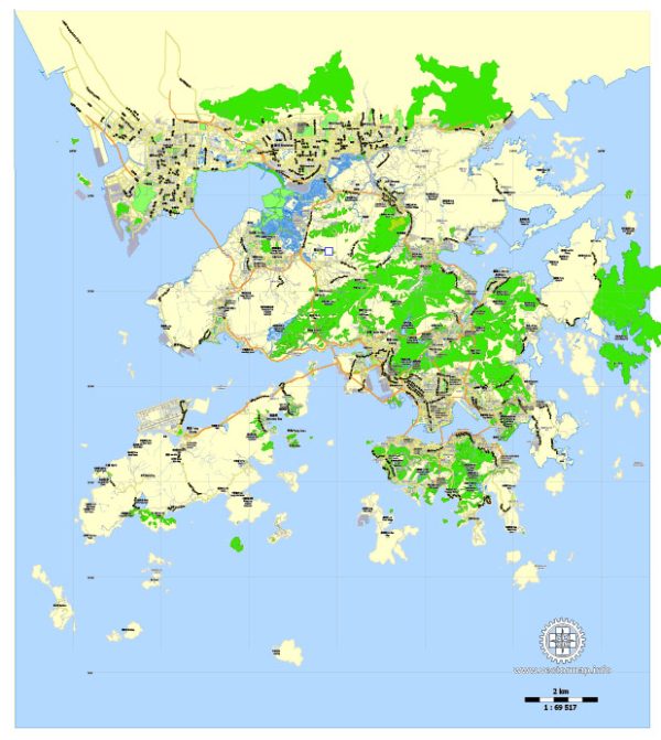
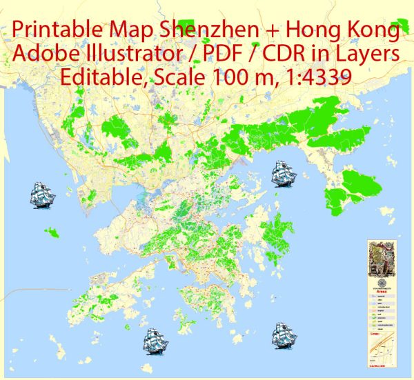
Both Hong Kong and Shenzhen are major cities in the Pearl River Delta region, and they have well-developed road networks.
Hong Kong:
- Nathan Road:
- Known as the “Golden Mile,” Nathan Road runs through the heart of Kowloon.
- It’s a major commercial street with shopping malls, restaurants, and cultural attractions.
- Des Voeux Road:
- Located in Central on Hong Kong Island, it is a significant financial and business district road.
- Queen’s Road:
- Queen’s Road Central and Queen’s Road East are major thoroughfares on Hong Kong Island.
- Queen’s Road Central is a key financial district street, while Queen’s Road East connects Wan Chai and Causeway Bay.
- Harbour Road:
- Runs along the Victoria Harbour, providing stunning views of Hong Kong Island’s skyline.
- Hennessy Road:
- Located in the Wan Chai district, it’s a busy commercial street with shops, offices, and hotels.
Shenzhen:
- Shennan Road:
- Often referred to as the “Central Axis” of Shenzhen, Shennan Road is one of the city’s main east-west thoroughfares.
- It runs through the central business district and is lined with skyscrapers.
- Nanshan Avenue:
- Located in the Nanshan District, this avenue connects key areas and features many tech companies, shopping malls, and cultural venues.
- Futian Road:
- Runs through the Futian District, an area known for its modern urban development and high-rise buildings.
- Dongmen Pedestrian Street:
- While not a road in the traditional sense, this is a famous pedestrian area in the heart of Luohu District with a vibrant street market and shopping scene.
- Binhe Avenue:
- Follows the shoreline of Shenzhen along the Pearl River, offering beautiful views of the river and the city.
Both cities have extensive public transportation networks, including buses and subways, making it relatively easy to navigate and explore. Additionally, these roadways are just a glimpse into the complex and dynamic urban landscapes of Hong Kong and Shenzhen.


 Author: Kirill Shrayber, Ph.D. FRGS