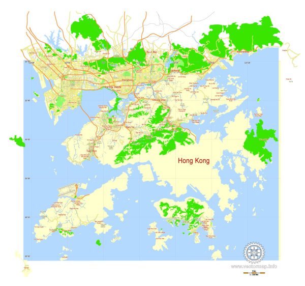
Hong Kong has a well-developed and efficient transportation system, reflecting its status as a major international financial hub.
**1. Mass Transit Railway (MTR): The MTR is the backbone of Hong Kong’s public transportation system. It’s a comprehensive network of rapid transit trains that connect various districts of Hong Kong, including the Hong Kong Island, Kowloon, and the New Territories. The system is known for its punctuality, cleanliness, and extensive coverage.
2. Buses: Hong Kong has an extensive bus network operated by various companies. Buses cover areas not served by the MTR and are an essential mode of transportation for many residents. There are different types of buses, including double-decker buses, minibusses, and more.
3. Trams: The iconic double-decker trams operate on Hong Kong Island, providing a scenic and leisurely way to travel. Trams are a nostalgic mode of transport, and they are popular with both locals and tourists.
4. Ferries: With its numerous islands and proximity to the sea, Hong Kong relies on an extensive ferry system. Ferries connect Hong Kong Island with outlying islands, as well as Kowloon and the New Territories.
5. Taxis: Taxis are readily available throughout Hong Kong. They are relatively affordable compared to other major cities and provide a convenient door-to-door service. Different colors represent different types of taxis, such as red for urban areas and green for the New Territories.
6. Airport Express: The Airport Express is a dedicated railway line that connects Hong Kong International Airport with the city center. It offers a quick and efficient means of transportation for air travelers.
7. Cross-Harbor Tunnels: To connect Hong Kong Island and Kowloon, there are several cross-harbor tunnels for both road and rail transport. These tunnels play a crucial role in easing traffic congestion.
8. Light Rail: In the New Territories, there is a light rail system that serves both residential and industrial areas. It complements other modes of transportation, providing connectivity in less densely populated regions.
Hong Kong’s transportation system is known for its efficiency, reliability, and seamless integration of various modes of transport. The government and relevant authorities continuously work to enhance and expand the transportation infrastructure to meet the growing demands of the city’s population.


 Author: Kirill Shrayber, Ph.D. FRGS