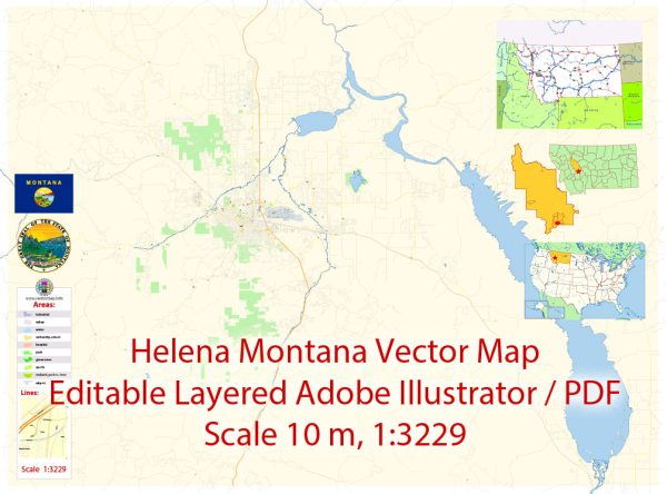
Transportation system in Helena, Montana, a general overview of what transportation systems might include in a typical U.S. city, and you can verify this information with the latest sources for Helena.
- Roads and Highways:
- Helena likely has a network of roads and highways connecting it to other cities and regions. Interstates, state highways, and local roads would facilitate ground transportation.
- Public Transit:
- Public transportation options such as buses may be available, and Helena might have a public transit system providing services within the city and potentially to nearby areas.
- Air Transportation:
- Air travel could be facilitated through a local airport. The Helena Regional Airport (HLN) is the primary airport serving the city.
- Rail Transportation:
- Rail transportation may play a role in the movement of goods and possibly passengers. Freight trains could be used for transporting goods.
- Biking and Pedestrian Infrastructure:
- Helena may have bike lanes, sidewalks, and pedestrian-friendly infrastructure to promote non-motorized transportation.
- Car Rental and Taxis:
- Car rental services and taxi companies may operate in Helena, providing additional options for local and visitor transportation.
For the most accurate and up-to-date information, including any recent changes or developments in Helena’s transportation system, I recommend checking with local transportation authorities, the city government, or relevant official sources. You can also explore local news websites or transportation department websites for the latest information on Helena’s transportation infrastructure.


 Author: Kirill Shrayber, Ph.D. FRGS