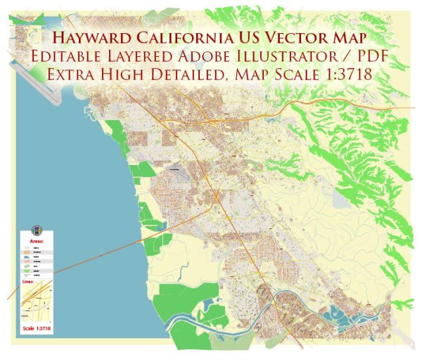
Transportation system in Hayward, California, a general overview of what you might find in a typical city’s transportation system.
- Roads and Highways: Hayward is served by a network of roads and highways that connect it to neighboring cities and regions. Major highways in the area include Interstate 880, which runs through the western part of Hayward, providing a crucial north-south connection in the Bay Area.
- Public Transportation: Public transportation is often a key component of urban areas. In Hayward, you can expect to find bus services that connect various neighborhoods within the city and link Hayward to nearby cities. AC Transit is a major public transit agency serving the East Bay, including Hayward.
- Rail Services: Hayward has a BART (Bay Area Rapid Transit) station, providing rapid rail transit connecting the city to other parts of the Bay Area, including San Francisco and Oakland.
- Airports: While Hayward itself doesn’t have a major airport, the city is situated relatively close to several airports. Oakland International Airport is one of the closest major airports, providing domestic and international flights.
- Biking and Walking: Many cities are increasingly focused on promoting alternative modes of transportation, such as biking and walking. Hayward may have bike lanes, pedestrian-friendly areas, and initiatives to encourage non-motorized transportation.
- Ridesharing and Taxis: Ridesharing services like Uber and Lyft are commonly available in urban areas. Traditional taxi services may also operate in Hayward.
It’s important to check with local sources or official city websites for the most current and detailed information on the transportation system in Hayward, as developments and improvements may have occurred since my last update.


 Author: Kirill Shrayber, Ph.D. FRGS