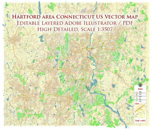
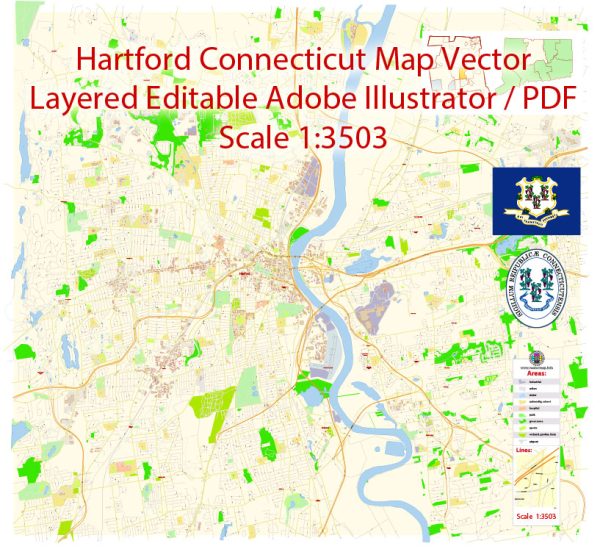
A general overview of the transportation system in Hartford, Connecticut.
1. Roads and Highways:
- Hartford is well-connected by a network of highways, including I-84 and I-91, which intersect in the city.
- Other significant roads include Route 2 and Route 15.
2. Public Transit:
- CTfastrak: A bus rapid transit system that connects Hartford with surrounding areas like New Britain and Manchester.
- CT Transit: The public bus service that operates within the Greater Hartford region.
3. Rail Services:
- Amtrak: Hartford is served by the Hartford Line, a regional rail service operated by Amtrak, connecting the city with New Haven and Springfield, Massachusetts.
- CTrail: Commuter rail services connecting Hartford with Springfield, New Haven, and other nearby towns.
4. Bradley International Airport:
- Located approximately 15 miles north of Hartford, Bradley International Airport serves as the primary airport for the region, offering domestic and international flights.
5. Biking and Walking:
- Efforts have been made to enhance pedestrian and bicycle infrastructure, with dedicated paths and bike lanes in some areas.
6. Car Sharing and Taxis:
- Car-sharing services and traditional taxi companies operate in Hartford, providing additional transportation options.
7. Parking:
- Hartford has various parking facilities, both on-street and off-street, to accommodate residents, commuters, and visitors.
8. Future Developments:
- Cities often undergo changes in their transportation systems over time. Future plans may include expansions of public transit, improvements to road infrastructure, and continued efforts to promote alternative transportation methods.
For the most up-to-date and detailed information on Hartford’s transportation system, consider checking local government websites, transportation authorities, or recent news sources.


 Author: Kirill Shrayber, Ph.D. FRGS