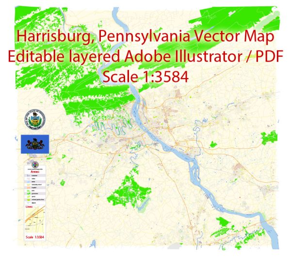
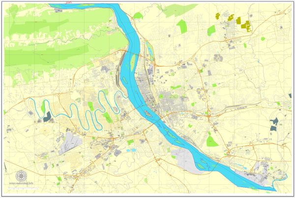
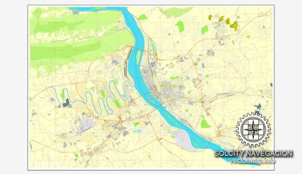
Harrisburg, the capital city of Pennsylvania, has a well-laid-out street grid system with various principal streets and roads. Here are some of the principal streets and roads in Harrisburg:
- Front Street: Running parallel to the Susquehanna River, Front Street is a major north-south thoroughfare. It offers scenic views of the river and is home to various businesses, restaurants, and parks.
- Second Street: Another important north-south route, Second Street intersects with Front Street and is part of the downtown area. It features a mix of commercial and residential buildings.
- Market Street: This east-west street is a key component of Harrisburg’s downtown area. It hosts shops, restaurants, and businesses and is often busy with both vehicular and pedestrian traffic.
- Forster Street: Running parallel to Market Street, Forster Street is another east-west route in downtown Harrisburg. It is known for its historic architecture and cultural institutions.
- State Street: State Street is a major east-west thoroughfare that extends from the downtown area to the State Capitol complex. It passes through the heart of the city and is a central location for government buildings.
- Cameron Street: This north-south street is significant for its connectivity, running through both residential and commercial areas. It is an important route for transportation within the city.
- Crosby Street: Located in Midtown Harrisburg, Crosby Street is known for its historic charm and is home to a mix of residential properties and small businesses.
- Herr Street: Running through various neighborhoods in Harrisburg, Herr Street is a north-south road that intersects with other major streets, providing access to different parts of the city.
- Derry Street: This east-west street passes through different neighborhoods, connecting the eastern and western parts of the city. It is lined with businesses and residential areas.
- Paxton Street: Running parallel to Derry Street, Paxton Street is another important east-west route, providing access to various commercial and industrial areas.
- I-83 (Capital Beltway): The Capital Beltway is a significant interstate highway that encircles the city, providing access to Harrisburg and connecting it to other major cities in the region.
- I-81: Passing to the west of Harrisburg, I-81 is a major north-south interstate highway that plays a crucial role in regional transportation.
These principal streets and roads form the backbone of Harrisburg’s transportation network, facilitating movement within the city and connecting it to the broader region. It’s advisable to check for any updates or changes to the road infrastructure if you need the most current information.


 Author: Kirill Shrayber, Ph.D. FRGS