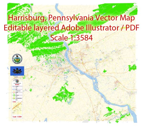
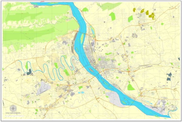
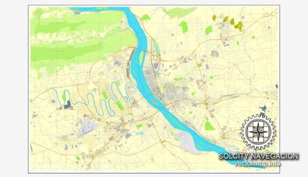
A general overview of the principal transportation systems in Harrisburg, Pennsylvania, United States.
Roadways:
- Interstate Highways:
- I-83: North-south interstate connecting Harrisburg to Baltimore and points north.
- I-81: Major north-south interstate connecting the northeastern and southwestern parts of the United States.
- U.S. Highways:
- U.S. Route 22: East-west route passing through Harrisburg.
- U.S. Route 322: Connecting Harrisburg with the eastern and western parts of Pennsylvania.
- State Highways:
- Pennsylvania Route 581: A western bypass route around Harrisburg.
- Pennsylvania Route 230: Running through the city and connecting to nearby areas.
Public Transportation:
- Capital Area Transit (CAT):
- CAT operates bus services in and around Harrisburg, providing public transportation for the region.
Rail Transportation:
- Amtrak:
- The Harrisburg Transportation Center serves as a hub for Amtrak services, connecting the city to other major cities like Philadelphia and New York City.
- Freight Rail:
- Norfolk Southern and other freight railroads operate in the area, contributing to the transportation of goods.
Air Transportation:
- Harrisburg International Airport (MDT):
- Located southeast of Harrisburg, MDT serves as the primary airport for the region, offering domestic flights.
River Transportation:
- Susquehanna River:
- While not a major mode of transportation, the Susquehanna River has played a historical role in the region’s transportation.
Considerations and Future Developments:
- Harrisburg is strategically located along major transportation corridors, making it a significant transportation hub in central Pennsylvania.
- Ongoing and future infrastructure projects, such as road improvements and expansions, may impact the transportation landscape.
For the most up-to-date and detailed information, it’s recommended to check with local transportation authorities or consult the latest city planning documents and transportation updates.


 Author: Kirill Shrayber, Ph.D. FRGS