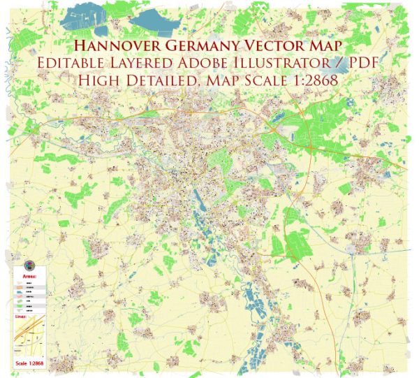
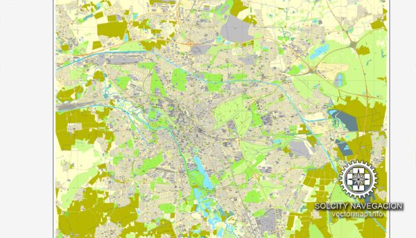
Hanover, the capital city of the Lower Saxony region in Germany, is known for its well-planned road network and transportation infrastructure. Here are some notable streets and roads in Hanover:
- Georgstraße: This is one of the main shopping streets in Hanover, known for its shops, cafes, and cultural attractions. It runs through the city center.
- Königstraße: Another significant shopping street, Königstraße is centrally located and features a mix of shops, restaurants, and entertainment venues.
- Hildesheimer Straße: This road leads south from the city center and is an important transportation route.
- Aegidientorplatz: Aegidientorplatz is a square and a junction for several important roads, including Hildesheimer Straße.
- Wilhelm-Busch-Straße: This street is named after the famous German humorist Wilhelm Busch and is located in the southern part of the city.
- Podbielskistraße: Running through various neighborhoods, Podbielskistraße is an important thoroughfare in Hanover.
- Vahrenwalder Straße: This road connects different parts of the city and is known for various commercial establishments.
- Messeschnellweg (A37): This is a highway that connects the city center to the Hanover Messe fairground and the A7 autobahn.
- A2 Autobahn: While not within the city itself, the A2 is a major autobahn (motorway) that passes close to Hanover, providing crucial east-west transportation.
- A7 Autobahn: Similarly, the A7 is a major north-south autobahn that is accessible from Hanover and facilitates long-distance travel.
Keep in mind that road networks are subject to changes, construction, and updates. If you need real-time and precise information, it’s recommended to use a navigation app or consult the latest local maps. Additionally, traffic conditions may vary, so it’s advisable to check for any potential disruptions or congestion before planning your route.


 Author: Kirill Shrayber, Ph.D. FRGS