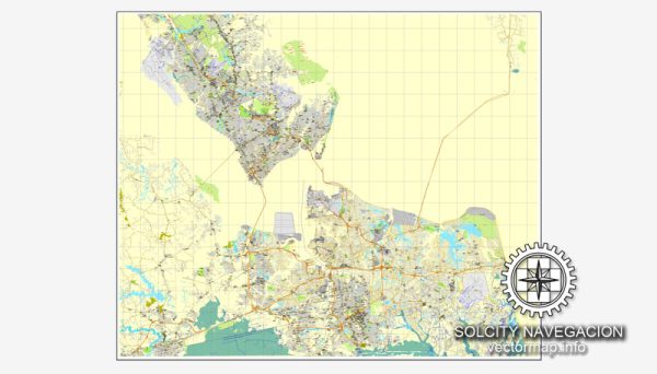
Hampton Roads, located in southeastern Virginia, is a region known for its extensive water resources, including rivers, estuaries, and the Chesapeake Bay. The area is home to several cities and communities, including Norfolk, Virginia Beach, Chesapeake, Newport News, Hampton, and Suffolk. The waterways in Hampton Roads play a crucial role in the region’s economic activities, transportation, and overall quality of life.
Water Resources:
- Chesapeake Bay: Hampton Roads is situated along the shores of the Chesapeake Bay, the largest estuary in the United States. The bay is a vital ecosystem that supports diverse marine life and provides recreational opportunities.
- James River: The James River flows through the heart of Hampton Roads, offering both aesthetic value and practical use. It has been historically significant for trade, transportation, and as a source of freshwater.
- Elizabeth River: Another important waterway in the region, the Elizabeth River, flows through Norfolk and Portsmouth. It is a navigable river and has played a role in the area’s industrial history.
- Back Bay and Currituck Sound: To the south of the region, Back Bay and Currituck Sound contribute to the overall water resources, providing habitats for wildlife and opportunities for outdoor activities.
Bridges:
- Hampton Roads Bridge-Tunnel (HRBT): This is a major transportation link in the area, connecting the cities of Hampton and Norfolk. The HRBT spans the Hampton Roads harbor, combining bridge and tunnel elements to facilitate vehicular traffic across the water.
- Monitor-Merrimac Memorial Bridge-Tunnel (MMMBT): Another significant crossing in the region, the MMMBT connects the cities of Newport News and Suffolk, crossing the Monitor-Merrimac Waterway.
- James River Bridge: Connecting Newport News and Isle of Wight County, the James River Bridge is a vital structure for vehicular traffic over the James River.
- High Rise Bridge: Located in Chesapeake, the High Rise Bridge spans the Southern Branch of the Elizabeth River, providing a crucial transportation link for the region.
These bridges are essential for the mobility and connectivity of the Hampton Roads region, facilitating the movement of people and goods across various cities and water bodies. They are critical components of the transportation infrastructure that supports the economic activities and daily life of the local population.


 Author: Kirill Shrayber, Ph.D. FRGS