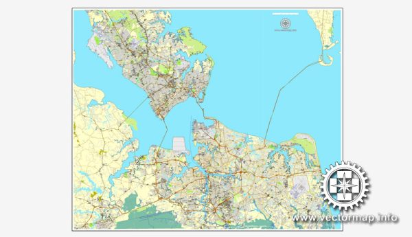
Hampton Roads is a metropolitan area located in the southeastern part of the Commonwealth of Virginia, USA. It includes several cities and towns, such as Norfolk, Newport News, Chesapeake, and Portsmouth. Each city has its own network of principal streets and roads. Here’s a brief description of some notable streets and roads in each of these cities:
- Norfolk:
- Granby Street: A major north-south thoroughfare in downtown Norfolk, known for its shops, restaurants, and cultural attractions.
- Waterside Drive: Running along the Elizabeth River, Waterside Drive is home to the Waterside District, a popular entertainment and dining destination.
- Military Highway (U.S. Route 13): A significant commercial corridor connecting Norfolk with neighboring cities.
- Newport News:
- Jefferson Avenue: A major north-south artery that runs through the city, hosting various businesses, shopping centers, and residential areas.
- Warwick Boulevard: Another important roadway running parallel to the James River, offering access to neighborhoods and commercial districts.
- Chesapeake:
- Greenbrier Parkway: A major north-south route in Chesapeake, known for its shopping centers and commercial developments.
- Virginia Beach Boulevard (U.S. Route 58): Connecting Chesapeake with Virginia Beach, this road is a significant east-west corridor.
- Portsmouth:
- High Street: The historic downtown area of Portsmouth, featuring a mix of shops, restaurants, and cultural attractions.
- London Boulevard (U.S. Route 460): A key route connecting Portsmouth with Suffolk and other parts of the region.
- Virginia Beach:
- Atlantic Avenue: A prominent street running parallel to the oceanfront, lined with hotels, restaurants, and shops.
- Virginia Beach Boulevard (U.S. Route 58): Serving as a major east-west corridor, connecting the oceanfront area with other parts of the city.
- Hampton:
- Mercury Boulevard (U.S. Route 258/60): A significant roadway running through Hampton, connecting it with Newport News and other areas.
- Settlers Landing Road: Located in downtown Hampton, known for its historic sites and waterfront views.
These are just a few examples, and there are many more streets and roads that make up the transportation network in the Hampton Roads region. The area is characterized by a mix of urban and suburban landscapes, and its roadways play a crucial role in connecting various communities and facilitating the movement of people and goods. Keep in mind that developments and changes to the road network may occur over time.


 Author: Kirill Shrayber, Ph.D.