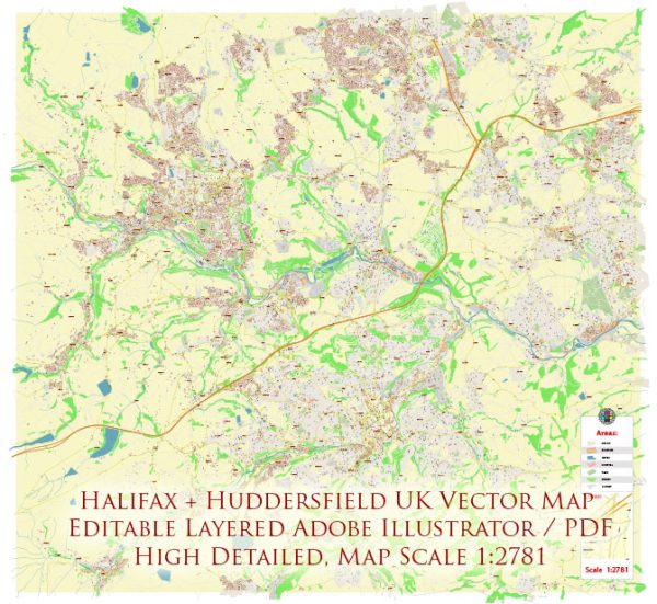
Halifax and Huddersfield are two towns located in West Yorkshire, United Kingdom. While they are distinct towns, they are part of the same metropolitan borough—Calderdale. Below is a brief description of the principal transportation systems in Halifax and Huddersfield:
Halifax:
- Road Network:
- Halifax is well-connected by road, with the M62 motorway nearby, providing easy access to major cities like Leeds and Manchester.
- A network of A-roads connects Halifax to neighboring towns and villages.
- Public Transportation:
- Bus Services: Halifax has a comprehensive bus network operated by various companies, connecting the town with surrounding areas.
- Rail Services: The town has a railway station, Halifax railway station, providing train services to other parts of West Yorkshire and beyond.
- Pedestrian and Cycling Facilities:
- Halifax has pedestrianized areas in the town center, making it convenient for pedestrians to move around.
- Efforts are made to enhance cycling infrastructure, encouraging sustainable transportation.
- Taxis and Private Hire:
- Taxis and private hire services are available for residents and visitors.
Huddersfield:
- Road Network:
- Huddersfield is well-connected by road, with the M62 motorway providing access to major cities.
- A-roads link Huddersfield to nearby towns and cities.
- Public Transportation:
- Bus Services: Huddersfield has an extensive bus network, connecting the town with neighboring areas.
- Rail Services: Huddersfield Railway Station is a major railway hub, offering train services to destinations across the region.
- Pedestrian and Cycling Facilities:
- Huddersfield has pedestrian-friendly zones in the town center, promoting walking and shopping.
- The town is working on improving cycling infrastructure for residents and visitors.
- Taxis and Private Hire:
- Taxis and private hire services are available for convenient transportation.
Shared Characteristics:
- Integration:
- Both towns are part of the West Yorkshire Integrated Transport Authority, which aims to coordinate transportation services in the region.
- Park and Ride:
- Efforts may be in place to promote park-and-ride facilities, encouraging residents to use public transport for commuting.
- Transportation Hubs:
- Both towns have central transportation hubs, such as railway stations, that serve as focal points for various modes of transportation.
It’s essential to check for any recent developments or changes in the transportation infrastructure, as improvements and modifications may occur over time. Local transportation authorities and websites are good sources for up-to-date information on transportation systems in Halifax and Huddersfield.


 Author: Kirill Shrayber, Ph.D.