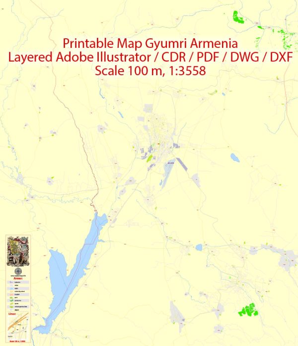
Gyumri, Armenia, some general information about the city’s layout and some of its principal streets and roads as of that time.
Gyumri is the second-largest city in Armenia and is known for its historic architecture and cultural significance. Some of the principal streets and roads in Gyumri include:
- Shahumyan Street: This is one of the central streets in Gyumri, hosting various shops, restaurants, and businesses. It’s named after Stepan Shahumyan, a Bolshevik revolutionary.
- Vardanants Street: Another central street, Vardanants Street is known for its historic buildings and leads to the city’s central square, the Vartanants Square.
- Garegin Nzhdeh Street: Named after Garegin Nzhdeh, an Armenian military commander and statesman, this street is an important thoroughfare in the city.
- Yerevani Street: Connecting different parts of the city, Yerevani Street is significant for transportation and is lined with various establishments.
- Leningradyan Street: This street is named after Leningrad (now Saint Petersburg) and plays a role in the city’s transportation network.
- Kumayri Historic District: While not a specific street, the Kumayri district is a historic area in Gyumri with cobbled streets, traditional architecture, and cultural sites.
- Mher Mkrtchyan Street: This street is named after the famous Armenian actor Mher Mkrtchyan and is located in the central part of the city.
Please note that road layouts and street names can change, and new developments may have occurred since my last update. For the most accurate and up-to-date information, it’s recommended to check with local authorities or use online mapping services.


 Author: Kirill Shrayber, Ph.D. FRGS