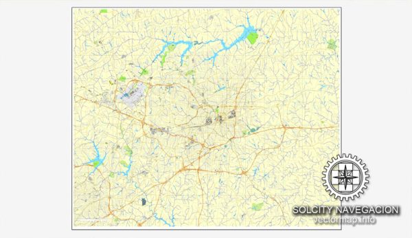
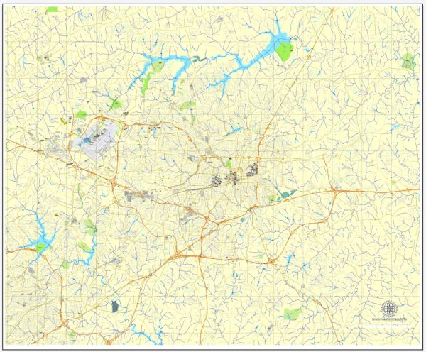
Greensboro, North Carolina, is served by various transportation systems. Please note that there may have been changes or developments since then. Here is a general description of the principal transportation systems in Greensboro:
- Roads and Highways:
- Greensboro is well-connected by a network of roads and highways, including major routes such as I-40, I-85, I-73, and I-840.
- These interstates facilitate regional and national travel, connecting Greensboro to other major cities in North Carolina and neighboring states.
- Public Transportation:
- Greensboro is served by the Greensboro Transit Authority (GTA), which provides bus services throughout the city and surrounding areas.
- The bus system plays a crucial role in providing public transportation and serves various routes to connect different neighborhoods and key destinations.
- Rail Transportation:
- Greensboro is a significant rail hub with an Amtrak station, providing passenger rail services. Amtrak’s Carolinian and Piedmont routes serve the city, connecting it to major cities such as Charlotte, Raleigh, and New York City.
- Air Transportation:
- Piedmont Triad International Airport (GSO) is the primary airport serving the Greensboro area. It facilitates domestic and limited international flights, connecting the region to various destinations.
- Cycling and Pedestrian Infrastructure:
- Greensboro has been working on enhancing its cycling and pedestrian infrastructure, with the development of bike lanes, sidewalks, and greenways to promote alternative modes of transportation.
- Car Sharing and Ride-Hailing Services:
- Car-sharing services and ride-hailing platforms operate in Greensboro, providing residents and visitors with additional transportation options.
- Transportation Planning:
- The city engages in transportation planning to address current and future needs. This includes considerations for road expansions, public transportation improvements, and sustainability initiatives.
- Port Facilities:
- Although Greensboro is not a coastal city, it is part of the broader Piedmont Triad region, which has access to port facilities in neighboring cities like Wilmington and Morehead City.
It’s advisable to check for any updates from local transportation authorities or city planning departments for the latest information on transportation developments in Greensboro.


 Author: Kirill Shrayber, Ph.D.