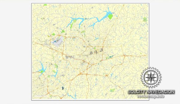
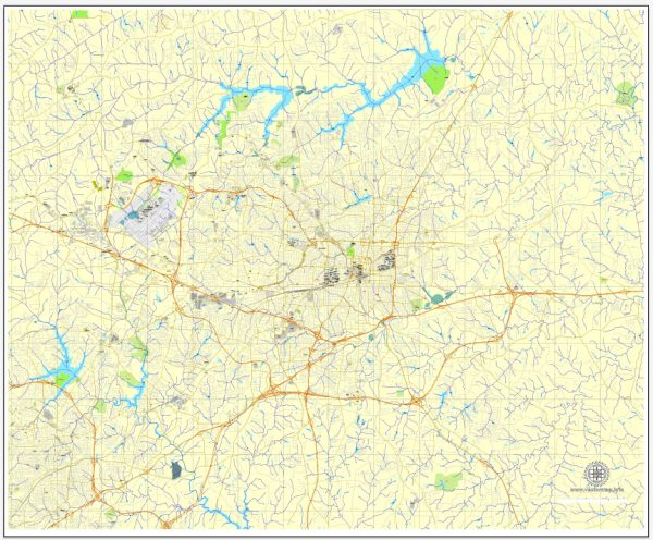
Greensboro, North Carolina, is a city with a well-planned street grid and a network of roads that serve its residents and visitors. A general description of some principal streets and roads in Greensboro.
- Interstate 40 (I-40): This major interstate highway runs east-west through Greensboro, connecting the city to other major cities like Raleigh and Winston-Salem.
- Interstate 85 (I-85): Another important interstate, I-85, intersects with I-40 in Greensboro, providing a north-south route connecting cities like Charlotte and Durham.
- US Highway 29 (US 29): Serving as a primary north-south route, US 29 passes through Greensboro and connects the city to Danville, Virginia, in the north, and Charlotte, North Carolina, in the south.
- US Highway 220 (US 220): This highway runs along the western side of Greensboro, connecting the city to places like Roanoke, Virginia, in the north, and Rockingham, North Carolina, in the south.
- Business 85 (BL I-85): Running through the city, Business 85 provides a route for local traffic and serves as an alternate to the main I-85 bypass.
- Wendover Avenue (US 220 Business): A significant east-west road in Greensboro, Wendover Avenue is known for its commercial and retail establishments.
- Battleground Avenue (US 220 Business): Another major road, Battleground Avenue, runs through the northern part of Greensboro and is lined with various businesses, restaurants, and residential areas.
- High Point Road (NC 68): Connecting Greensboro to nearby High Point, this road is a major corridor with various commercial and residential developments.
- Lawndale Drive: This road runs north-south and is known for its shopping centers, restaurants, and residential neighborhoods.
- Friendly Avenue: A significant east-west road, Friendly Avenue is lined with businesses, schools, and residential areas.
- Market Street: Located in downtown Greensboro, Market Street is part of the city’s historic district and features a mix of shops, restaurants, and cultural attractions.
Please keep in mind that Greensboro’s road network is subject to changes, and developments may have occurred since my last update. For the most accurate and current information, it’s advisable to consult a local map or use a navigation app.


 Author: Kirill Shrayber, Ph.D.