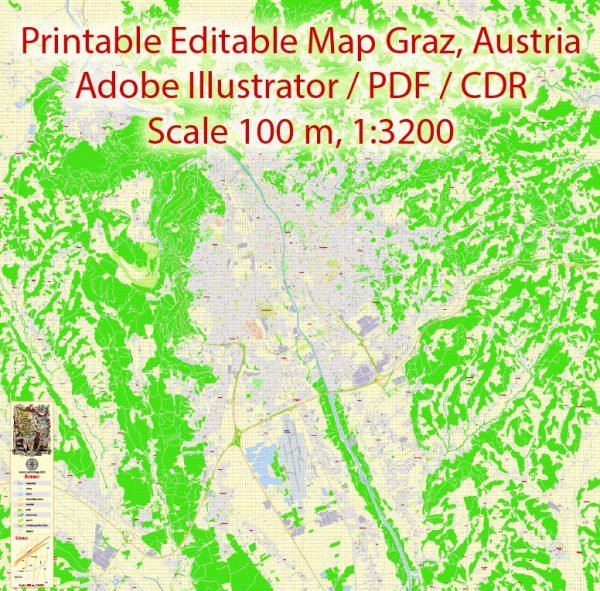
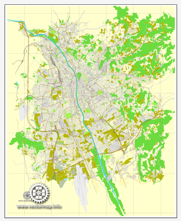
A general overview of Graz, Austria’s principal transportation systems.
1. Public Transportation:
- Buses and Trams: Graz has an extensive public transportation network, including buses and trams, operated by the Graz Linien. The public transport system is well-developed and serves both the city and its suburbs.
2. Rail Transportation:
- Train Services: The main train station in Graz is the Graz Hauptbahnhof, which connects the city with various national and international destinations. The train services provide a convenient means of transportation for both daily commuters and travelers.
3. Cycling:
- Bike Paths: Graz is known for being a bike-friendly city. There are dedicated bike paths and lanes throughout the city, making cycling a popular and eco-friendly mode of transportation.
4. Private Vehicles:
- Road Network: Graz has a well-maintained road network, and private vehicles are a common mode of transportation. However, the city center has pedestrian zones, and parking may be limited, encouraging the use of public transport and cycling.
5. Walking:
- Pedestrian Zones: Graz has several pedestrian zones in its city center, making it easy for residents and visitors to explore the city on foot. This contributes to a more walkable and livable urban environment.
6. Car-sharing and Taxis:
- Car-sharing Services: Car-sharing services are available in Graz, providing an alternative to traditional car ownership.
- Taxis: Taxis are also readily available for those who prefer on-demand, private transportation.
7. Airport:
- Flughafen Graz-Thalerhof: The Graz Airport, known as Flughafen Graz-Thalerhof, connects the city to various domestic and international destinations.
8. Future Developments:
- Cities often undergo changes and improvements in transportation infrastructure. It’s advisable to check for any recent updates or new projects that might impact Graz’s transportation system.
For the most current and detailed information, it’s recommended to refer to local transportation authorities, city websites, or official tourism sources in Graz.


 Author: Kirill Shrayber, Ph.D. FRGS