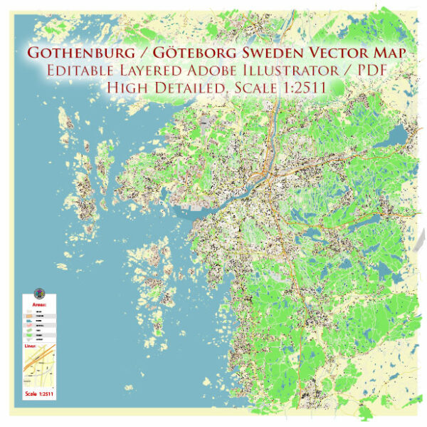
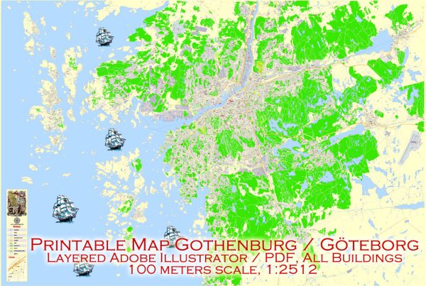
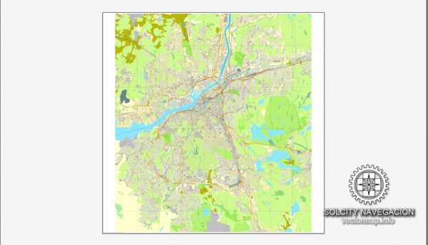
Gothenburg, located on the west coast of Sweden, is the country’s second-largest city and an important cultural and economic hub. The city’s layout is characterized by a network of streets and roads that connect various neighborhoods and landmarks.
- Avenyn (Kungsportsavenyen): Avenyn is Gothenburg’s main boulevard and a central hub for shopping, dining, and entertainment. It stretches from Götaplatsen (where the Gothenburg Museum of Art is located) to Kungsportsplatsen, featuring a variety of shops, restaurants, and cultural venues.
- Kungsportsplatsen: This is a major square in the city center, surrounded by important buildings and landmarks. It’s a central meeting point and a hub for public transportation.
- Vasagatan: Running parallel to Avenyn, Vasagatan is another important street in the city center, offering shopping and dining options.
- Östra Hamngatan: This street is known for its historic architecture and connects Kungsportsplatsen to the harbor area. It’s a lively street with shops, cafes, and restaurants.
- Haga Nygata: Located in the Haga district, this charming cobblestone street is known for its picturesque buildings, small shops, and cozy cafes. It provides a unique and historic atmosphere.
- Slottsskogen: While not a street in the traditional sense, Slottsskogen is a large park in Gothenburg. It offers a network of paths and trails, making it a popular destination for outdoor activities and relaxation.
- Mölndalsvägen: Connecting the city center to the southern parts of Gothenburg, this road is an important transportation artery.
- E6 and E20 Highways: These are major highways that connect Gothenburg to other parts of Sweden. E6 runs along the west coast, while E20 connects Gothenburg to Stockholm.
- Nya Allén: Another street in the city center, Nya Allén is known for its bars, restaurants, and nightlife.
- Linnégatan: Located in the Linnéstaden district, this street is lined with shops, cafes, and pubs, making it a popular destination for locals and visitors alike.
Remember that Gothenburg has an efficient public transportation system, including trams and buses, making it easy to explore the city. Additionally, urban development and changes in infrastructure may have occurred, so it’s always a good idea to check for the latest maps and information for the most accurate details.


 Author: Kirill Shrayber, Ph.D. FRGS