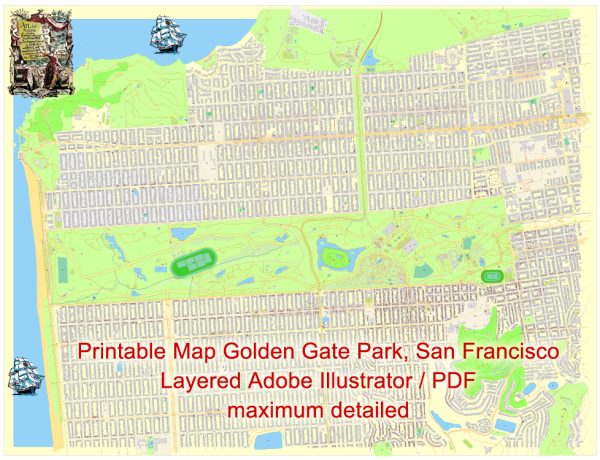
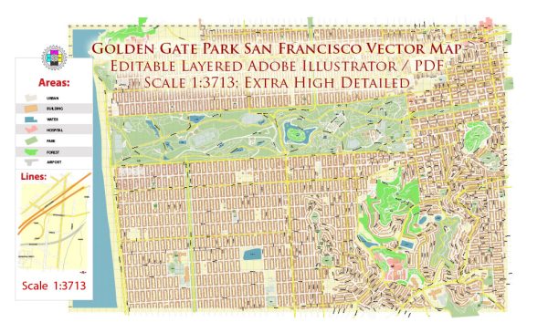
Golden Gate Park in San Francisco is a large urban park known for its diverse attractions, including gardens, lakes, museums, and recreational areas. The park is rectangular in shape and stretches from the eastern end of the city to the Pacific Ocean in the west. While Golden Gate Park doesn’t have traditional roads like you might find in a city grid, it does have several main thoroughfares and pathways that facilitate movement within the park. Here are some of the principal roads and paths in Golden Gate Park:
- John F. Kennedy Drive: This is one of the main roads that runs through the park from the eastern entrance to the western edge. It is a popular route for cyclists, joggers, and pedestrians. On Sundays, a section of JFK Drive is closed to vehicular traffic for “Sunday Streets,” allowing people to enjoy the park without the presence of cars.
- Martin Luther King Jr. Drive: This road intersects with JFK Drive and provides access to various attractions within the park. It leads to the western end of the park, where you’ll find Ocean Beach and the Pacific Ocean.
- Park Presidio Bypass: This road runs along the northern edge of the park and connects the eastern and western ends. It is often used by motorists traveling through the city.
- Transverse Drive: This road cuts across the park horizontally, providing another route for vehicles. It intersects with both JFK Drive and Martin Luther King Jr. Drive.
- Stow Lake Drive: Circles around Stow Lake, a popular spot in the park. It offers a scenic route with views of the lake, the Chinese Pavilion, and Strawberry Hill.
- Chain of Lakes Drive: Encircles several small lakes in the western part of the park, offering a peaceful and scenic drive.
- Nancy Pelosi Drive: This road is named after the U.S. House Speaker and runs along the eastern edge of the park, parallel to JFK Drive.
In addition to these roads, there are numerous pathways and trails that wind through the park, providing access to various attractions such as the Japanese Tea Garden, the Conservatory of Flowers, the de Young Museum, and the California Academy of Sciences. The park’s layout is designed to encourage exploration on foot or by bicycle, allowing visitors to enjoy the natural beauty and cultural attractions it has to offer.


 Author: Kirill Shrayber, Ph.D. FRGS