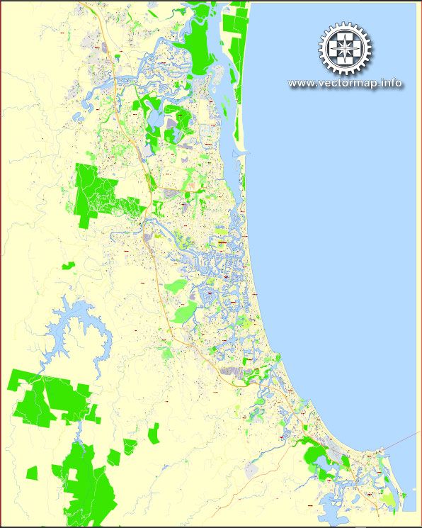
The Gold Coast in Australia has a well-developed transportation system to cater to the needs of residents and tourists. The principal transportation systems in the Gold Coast include:
- Roads and Highways:
- The Gold Coast is well-connected by an extensive road network, including major highways like the Pacific Motorway (M1), which links the city with Brisbane to the north and New South Wales to the south.
- Local roads and streets provide access to various neighborhoods and commercial areas.
- Public Bus Services:
- TransLink operates public bus services on the Gold Coast, offering an affordable and convenient means of transportation. Buses cover a wide range of routes, connecting suburbs and key locations across the city.
- Light Rail (G:link):
- The G:link is a light rail system that connects key areas of the Gold Coast, running from Helensvale in the north to Broadbeach in the south. It provides a fast and efficient mode of transport, particularly along the coastal strip.
- Heavy Rail:
- The Gold Coast is connected to Brisbane by heavy rail services. The Gold Coast line runs from the city to Brisbane, offering commuters an alternative to road transport.
- Cycling and Walking Paths:
- The city has a network of cycling and walking paths, allowing residents and visitors to travel using sustainable and healthy modes of transportation.
- Taxis and Ride-Sharing:
- Taxis and ride-sharing services are available for convenient point-to-point transportation.
- Gold Coast Airport:
- Gold Coast Airport, located at Coolangatta, serves as a major gateway to the region. It offers domestic and international flights, connecting the Gold Coast to various destinations.
- Water Transport:
- While not as extensive as other modes, water transport options include ferry services and boat charters for recreational purposes.
- Car Rentals:
- Car rental services are available for those who prefer the flexibility of driving themselves.
- Infrastructure for Events:
- The Gold Coast has infrastructure to support major events, including transportation services for large gatherings.


 Author: Kirill Shrayber, Ph.D. FRGS