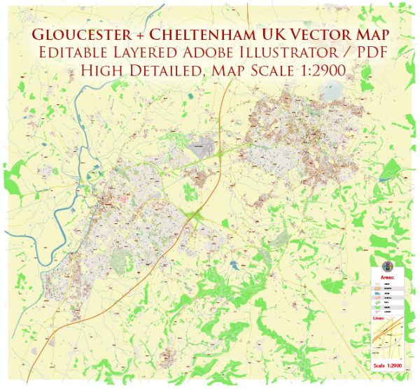
Gloucester and Cheltenham are both historic towns in the county of Gloucestershire, United Kingdom. Each town has its own set of principal streets and roads that contribute to its character and connectivity. Here’s a brief overview of some key streets and roads in Gloucester and Cheltenham:
Gloucester:
- Eastgate Street: A central street in Gloucester, featuring a mix of shops, restaurants, and historic buildings.
- Westgate Street: Parallel to Eastgate Street, Westgate Street is another important thoroughfare with shops and businesses.
- Southgate Street: Runs south from the city center, connecting to the docks and featuring various shops and amenities.
- Longsmith Street: Located near Gloucester Cathedral, this street is known for its historic architecture.
- London Road: One of the main roads leading out of the city towards the east.
- Trier Way: A major road connecting the city center to the eastern and southern parts of Gloucester.
- Eastern Avenue: A significant route on the eastern side of the city, providing access to residential and commercial areas.
Cheltenham:
- High Street: Cheltenham’s primary shopping street, lined with a variety of shops, cafes, and restaurants.
- Promenade: A fashionable street in the heart of Cheltenham, known for its Georgian architecture and high-end boutiques.
- Montpellier Walk: Part of the Montpellier district, this area features tree-lined streets and upscale shops.
- Pittville Circus Road: Surrounds Pittville Park and connects to the larger road network in Cheltenham.
- Clarence Street: Running through the town center, Clarence Street is home to various shops and businesses.
- Winchcombe Street: Located in the Montpellier district, known for its unique shops and boutiques.
- A4019 (Tewkesbury Road): A major road connecting Cheltenham to Tewkesbury and other areas.
- A40 (London Road): An important road connecting Cheltenham to Oxford and London.
These are just a few examples, and both towns have a network of streets and roads that contribute to their charm and functionality. Additionally, new developments and changes to infrastructure may have occurred since my last update. If you need more detailed or up-to-date information, consider checking with local sources or mapping services.


 Author: Kirill Shrayber, Ph.D.